Gravesham
Gravesham/20241124
Former Gravesend And North Kent Hospital (M Block) Clifton Road Gravesend Kent
- Reference
- Gravesham/20241124
- Authority
- Gravesham
- Address
- Former Gravesend And North Kent Hospital (M Block) Clifton Road Gravesend Kent
- Status
- Application Refused
- Decision
- Refused
- Received
- 10 Dec 2024
- Validated
- 10 Dec 2024
- Started
- 10 Dec 2024
- Decided
- 18 Dec 2025
- Source council
- Gravesham
- Council source record
- View public record
- Public data licence
- Open Government Licence v3.0
- Record updated
- 6 Aug 2026
- SEO index generated
- 7 Aug 2026
Location
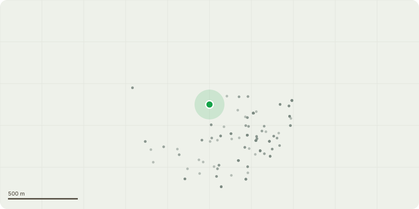
Approximate location
Proposal
Application for the variation of conditions 5, 7, 9, 10 and 11 attached to planning permission reference number 20220915 for application for a minor material amendment to planning permission reference no. 20190504 (following planning permission reference no. 20220487 for non-material amendment to allow the change of description to: Conversion of existing building with a side extension and a roof extension, the construction of a new residential building to provide residential units (class C3) consisting of one bed, two bed and three bed homes, together with associated car parking, motorcycle and cycles spaces alongside amenity space, private gymnasium and waste and space in Class E as flexi use space) to allow: amendments to Block M only (conversion building), including amendments to unit mix, internal layouts and parking, introduction of additional private and shared amenity space, elevational changes and amended material palette; to allow the earlier start on site and delivery by amending the trigger points for pre-commencement conditions.
Key dates
- Received 10 Dec 2024
- Validated 10 Dec 2024
- Started 10 Dec 2024
- Decided 18 Dec 2025
Planning history / related applications
No related planning applications have been identified in the current public OGL dataset.
Inside plotEdge
Go beyond the public record
This page is the public OGL record. plotEdge adds the private intelligence layer for this site - open it in the app to unlock:
- Ownership & title Registered owner and title from HM Land Registry.
- Viability & build potential Site scoring and development upside.
- Constraints Flood risk, green belt, conservation areas and designations.
- Approval signal Planning risk and approval-likelihood analysis.
- Comparable applications Decisions on similar nearby sites, side by side.
- Status alerts Get notified the moment this application changes.
Source: public planning application data from Gravesham, reused under the Open Government Licence v3.0. View the council source record. Council documents and drawings are not republished on plotEdge.