Gedling
Gedling/2026/0172
Land Between Linby Lane And Papplewick Lane Linby Nottinghamshire
- Reference
- Gedling/2026/0172
- Authority
- Gedling
- Address
- Land Between Linby Lane And Papplewick Lane Linby Nottinghamshire
- Status
- Unknown
- Decision
- Conditional Permission
- Received
- 13 Mar 2026
- Validated
- 13 Mar 2026
- Started
- 13 Mar 2026
- Decided
- 23 Apr 2026
- Source council
- Gedling
- Council source record
- View public record
- Public data licence
- Open Government Licence v3.0
- Record updated
- 6 Aug 2026
- SEO index generated
- 7 Aug 2026
Location
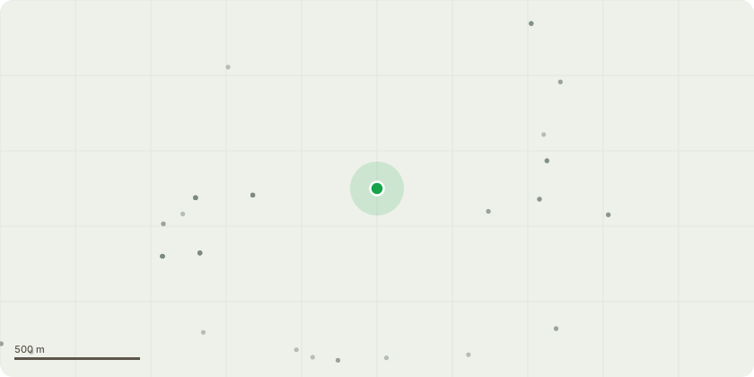
Approximate location
Proposal
Remove two areas of the same hedgerow for sewer upgrade works, up to 4m each, and replace. Any removed sections of hedgerow will be replaced using a mixture of at least five native hedgerow species, appropriate to the locality, with no one species making up more than 70% of the total. Species will include hawthorn (Cratageus monogyna), blackthorn (Prunus spinosa), hazel (Corylus avellana), holly (Ilex aquifolium) and field maple (Acer campestre), in keeping with the existing species in the northern hedgerow. Locally sourced, two-year-old whips, at least 450 mm to 600 mm high, will be planted in a staggered double row 400 mm apart, with a minimum of 6 plants per metre. Planting will take place in the first winter period following completion of the works, between December and February inclusive. Whips will be protected with tree guards or spiral wraps and mulched around the base. Hedgerow planting will be monitored annually for the first five years of establishment, with any failed whips identified during monitoring to be replaced during the next planting season.
Key dates
- Received 13 Mar 2026
- Validated 13 Mar 2026
- Started 13 Mar 2026
- Decided 23 Apr 2026
Planning history / related applications
No related planning applications have been identified in the current public OGL dataset.
Inside plotEdge
Go beyond the public record
This page is the public OGL record. plotEdge adds the private intelligence layer for this site - open it in the app to unlock:
- Ownership & title Registered owner and title from HM Land Registry.
- Viability & build potential Site scoring and development upside.
- Constraints Flood risk, green belt, conservation areas and designations.
- Approval signal Planning risk and approval-likelihood analysis.
- Comparable applications Decisions on similar nearby sites, side by side.
- Status alerts Get notified the moment this application changes.
Source: public planning application data from Gedling, reused under the Open Government Licence v3.0. View the council source record. Council documents and drawings are not republished on plotEdge.