Exeter
Exeter/25/1828/DIS
Land North East Of 371 Topsham Road, Access To InFocus, Exeter, Devon
- Reference
- Exeter/25/1828/DIS
- Authority
- Exeter
- Application type
- Discharge of conditions
- Address
- Land North East Of 371 Topsham Road, Access To InFocus, Exeter, Devon
- Status
- Permitted
- Decision
- Condition(s) Fully Discharged
- Received
- 23 Dec 2025
- Validated
- 23 Dec 2025
- Started
- 23 Dec 2025
- Decided
- 24 Feb 2026
- Source council
- Exeter
- Council source record
- View public record
- Public data licence
- Open Government Licence v3.0
- Record updated
- 6 Aug 2026
- SEO index generated
- 7 Aug 2026
Location
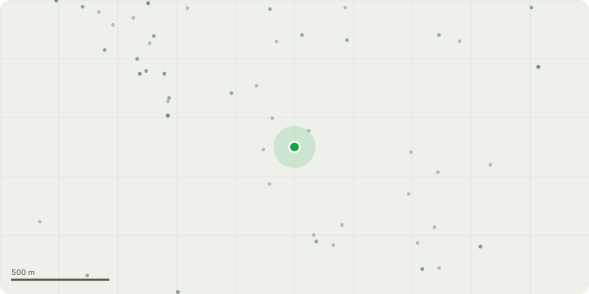
Approximate location
Proposal
Discharge conditions 3a (Written Scheme of Archaeological Work), 3b (Surface Water Drainage), 3c (Energy and Water Efficiency Measures), 3d (Tree/Hedge Protection Scheme), 3e (Ecology Results/Measures), 3f (Waste Audit Statement), 3g (Asbestos/UXO Desk-top Survey), 4 (Materials Samples), 5 (Security Fence Drawings), 6 (Landscaping and Ecology Implementation/Management/Monitoring), 7 (Border Management Plan), 8 (Cycle Parking Details), 9 (Disabled Parking), 10 (EV Charging Points) and 11 (Gravel Colour/Spec) of Appeal Decision Ref. APP/Y1110/W/25/3365204 (Application Ref. 24/1195/VOC) - Development comprising change of use to golf driving range including construction of an 8 bay and 2 training bay facility incorporating equipment store and car park (Variation of condition 2 of 21/1676/FUL to change the surface material of the car park from grasscrete or similar to recycled plastic cell gravel).
Key dates
- Received 23 Dec 2025
- Validated 23 Dec 2025
- Started 23 Dec 2025
- Decided 24 Feb 2026
Planning history / related applications
No related planning applications have been identified in the current public OGL dataset.
Inside plotEdge
Go beyond the public record
This page is the public OGL record. plotEdge adds the private intelligence layer for this site - open it in the app to unlock:
- Ownership & title Registered owner and title from HM Land Registry.
- Viability & build potential Site scoring and development upside.
- Constraints Flood risk, green belt, conservation areas and designations.
- Approval signal Planning risk and approval-likelihood analysis.
- Comparable applications Decisions on similar nearby sites, side by side.
- Status alerts Get notified the moment this application changes.
Source: public planning application data from Exeter, reused under the Open Government Licence v3.0. View the council source record. Council documents and drawings are not republished on plotEdge.