Exeter
Exeter/25/1725/CAT
St Bartholomews Cemetery Exe Street Exeter
- Reference
- Exeter/25/1725/CAT
- Authority
- Exeter
- Application type
- CAT
- Address
- St Bartholomews Cemetery Exe Street Exeter
- Status
- Permitted
- Decision
- Permitted
- Received
- 4 Dec 2025
- Validated
- 4 Dec 2025
- Started
- 4 Dec 2025
- Decided
- 15 Dec 2025
- Source council
- Exeter
- Council source record
- View public record
- Public data licence
- Open Government Licence v3.0
- Record updated
- 6 Aug 2026
- SEO index generated
- 7 Aug 2026
Location
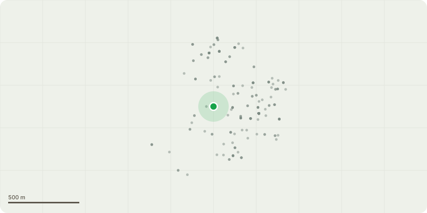
Approximate location
Proposal
Job - 82621 Acer pseudoplatanus - Aggressive fungal brackets (Kretzmaria deusta) present at stem base with significant decay concealed behind bark from ground level to 1.8m and 50cm wide at base. This fungal strategy is root and butt rotting, may cause branch and stem failure and is likely to render a tree unsafe.Significant targets - in striking distance of a residential property, historic wall beside a public footpath and under the canopy are memorial tombs and frequent use footpaths.This tree is recomended for felling to a 2m maximum stump. Fell tree to 2m stump Remove cordwood. Retain felled larger wood securely on site in an appropriate location for long term degradation and biodiversity value. Woodchip can remain on site to support retained larger wood or spread appropriately as a mulch layer.
Key dates
- Received 4 Dec 2025
- Validated 4 Dec 2025
- Started 4 Dec 2025
- Decided 15 Dec 2025
Planning history / related applications
No related planning applications have been identified in the current public OGL dataset.
Inside plotEdge
Go beyond the public record
This page is the public OGL record. plotEdge adds the private intelligence layer for this site - open it in the app to unlock:
- Ownership & title Registered owner and title from HM Land Registry.
- Viability & build potential Site scoring and development upside.
- Constraints Flood risk, green belt, conservation areas and designations.
- Approval signal Planning risk and approval-likelihood analysis.
- Comparable applications Decisions on similar nearby sites, side by side.
- Status alerts Get notified the moment this application changes.
Source: public planning application data from Exeter, reused under the Open Government Licence v3.0. View the council source record. Council documents and drawings are not republished on plotEdge.