Exeter
Exeter/25/1240/TPO
LAND OPPOSITE GENEVA CLOSE, WONFORD ROAD, EXETER
- Reference
- Exeter/25/1240/TPO
- Authority
- Exeter
- Application type
- Tree preservation order
- Address
- LAND OPPOSITE GENEVA CLOSE, WONFORD ROAD, EXETER
- Status
- Permitted
- Decision
- Permitted
- Received
- 11 Sept 2025
- Validated
- 11 Sept 2025
- Started
- 11 Sept 2025
- Decided
- 5 Nov 2025
- Source council
- Exeter
- Council source record
- View public record
- Public data licence
- Open Government Licence v3.0
- Record updated
- 6 Aug 2026
- SEO index generated
- 7 Aug 2026
Location
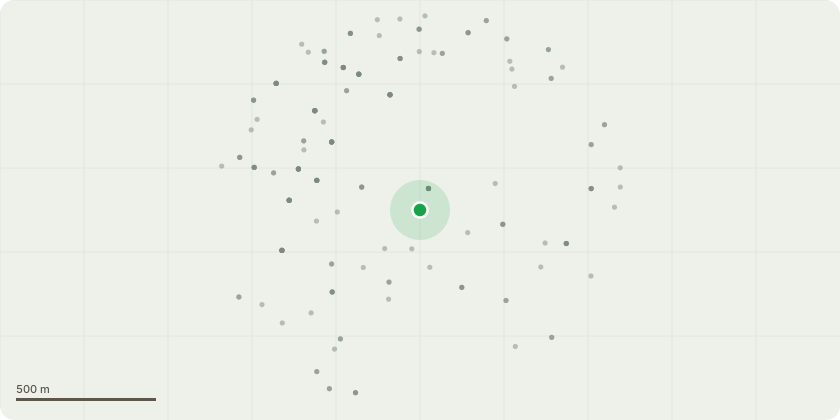
Approximate location
Proposal
I am applying to reduce the face of the line of Evergreen Oaks that make up a hedge at Lister Close identified on the sketch map (scan 09-09-25_2055) as TPO 544. The hedge can be seen in IMG_20250731-092442, IMG_20250731-092546 and IMG_20250731-092413 which also show the extent to which it is encroaching onto the roadside. I am proposing to reduce the face that is encroaching onto the access road and Lamp post by approximately 6 feet (due to cutting back to appropriate pruning points) along the length of the hedge adjoining the roadside which is approximately 22.8m. Pruning the trees back by 6 feet will clear the Lamp post that is currently covered allowing light back onto the access road and also allow more visibility for the vehicles that use the Road. The two pictures attached; IMG_20250731-092506 and IMG_20250731-092425 show the branches making up the face of the hedge. As shown in the photos there are adequate pruning points that could be cut back to that would leave minimal wounds to the branches and plenty of points of new growth.
Key dates
- Received 11 Sept 2025
- Validated 11 Sept 2025
- Started 11 Sept 2025
- Decided 5 Nov 2025
Planning history / related applications
No related planning applications have been identified in the current public OGL dataset.
Inside plotEdge
Go beyond the public record
This page is the public OGL record. plotEdge adds the private intelligence layer for this site - open it in the app to unlock:
- Ownership & title Registered owner and title from HM Land Registry.
- Viability & build potential Site scoring and development upside.
- Constraints Flood risk, green belt, conservation areas and designations.
- Approval signal Planning risk and approval-likelihood analysis.
- Comparable applications Decisions on similar nearby sites, side by side.
- Status alerts Get notified the moment this application changes.
Source: public planning application data from Exeter, reused under the Open Government Licence v3.0. View the council source record. Council documents and drawings are not republished on plotEdge.