Exeter
Exeter/25/0299/TPO
Land South Of Newport Road Exeter
- Reference
- Exeter/25/0299/TPO
- Authority
- Exeter
- Application type
- Tree preservation order
- Address
- Land South Of Newport Road Exeter
- Status
- Permitted
- Decision
- Permitted
- Received
- 13 Mar 2025
- Validated
- 13 Mar 2025
- Started
- 13 Mar 2025
- Decided
- 30 Apr 2025
- Source council
- Exeter
- Council source record
- View public record
- Public data licence
- Open Government Licence v3.0
- Record updated
- 6 Aug 2026
- SEO index generated
- 7 Aug 2026
Location
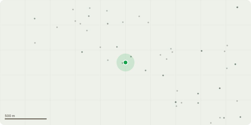
Approximate location
Proposal
Oak T1Reasons for the work:- Recent stem failure causing serious damage to garage, fence and garden furniture- Ductile failure point with no obvious signs of pre-existing defects- This failed stem is the parent to several large lateral branches that originate close to the failure point- These attachments are weakened somewhat by the wound tear- These lateral branches in the northern crown aspect are hyperextended and more exposed to wind than previously- These branches are particularly vulnerable to storms prevailing from the east- These branches directly overhang the garageA description of the proposed worksRemove the two large hyperextended limbs in the northern crown aspect with one cut approximately 250mm in diameter, use a coronet cut to give the appearance of storm damage. Reduce the two smaller lateral branches below this by 2-3m, retaining 3-4m of branch, with a 70mm maximum cut diameter. See annotations within tree report.
Key dates
- Received 13 Mar 2025
- Validated 13 Mar 2025
- Started 13 Mar 2025
- Decided 30 Apr 2025
Planning history / related applications
No related planning applications have been identified in the current public OGL dataset.
Inside plotEdge
Go beyond the public record
This page is the public OGL record. plotEdge adds the private intelligence layer for this site - open it in the app to unlock:
- Ownership & title Registered owner and title from HM Land Registry.
- Viability & build potential Site scoring and development upside.
- Constraints Flood risk, green belt, conservation areas and designations.
- Approval signal Planning risk and approval-likelihood analysis.
- Comparable applications Decisions on similar nearby sites, side by side.
- Status alerts Get notified the moment this application changes.
Source: public planning application data from Exeter, reused under the Open Government Licence v3.0. View the council source record. Council documents and drawings are not republished on plotEdge.