Erewash
Erewash/PA/2026/0122
Land West of Dale Road, Spondon, Derby, Derbyshire
- Reference
- Erewash/PA/2026/0122
- Authority
- Erewash
- Application type
- Non-Material Amendment
- Address
- Land West of Dale Road, Spondon, Derby, Derbyshire
- Source council
- Erewash
- Council source record
- View public record
- Public data licence
- Open Government Licence v3.0
- Record updated
- 6 Aug 2026
- SEO index generated
- 7 Aug 2026
Location
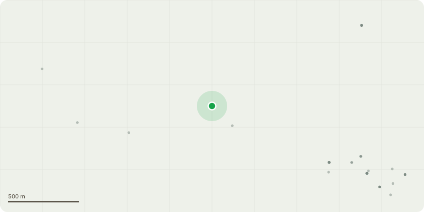
Approximate location
Proposal
Change of materials from block paving to tarmac on raised highway tables; repositioning of foul pumping station and sub-stations; addition of gas governor opposite plots 6 and 7, with accessway; addition of grasscrete fire engine turning area opposite plot 36; Plot 84 handed; McArthur housetype substituted with the McQueen; addition of landscaping strip between edge of shared driveways and kneerails/estate railings; adjusted bin collection points.
Planning history / related applications
No related planning applications have been identified in the current public OGL dataset.
Inside plotEdge
Go beyond the public record
This page is the public OGL record. plotEdge adds the private intelligence layer for this site - open it in the app to unlock:
- Ownership & title Registered owner and title from HM Land Registry.
- Viability & build potential Site scoring and development upside.
- Constraints Flood risk, green belt, conservation areas and designations.
- Approval signal Planning risk and approval-likelihood analysis.
- Comparable applications Decisions on similar nearby sites, side by side.
- Status alerts Get notified the moment this application changes.
Source: public planning application data from Erewash, reused under the Open Government Licence v3.0. View the council source record. Council documents and drawings are not republished on plotEdge.