Epsom and Ewell
Epsom and Ewell/25/01004/TPO
Woodland To The Rear Of St Elizabeth Drive Epsom
- Reference
- Epsom and Ewell/25/01004/TPO
- Authority
- Epsom and Ewell
- Application type
- Tree preservation order
- Address
- Woodland To The Rear Of St Elizabeth Drive Epsom
- Status
- Decided
- Decision
- Application Permitted
- Received
- 16 Sept 2025
- Validated
- 16 Sept 2025
- Started
- 16 Sept 2025
- Decided
- 5 Dec 2025
- Source council
- Epsom and Ewell
- Council source record
- View public record
- Public data licence
- Open Government Licence v3.0
- Record updated
- 6 Aug 2026
- SEO index generated
- 7 Aug 2026
Location
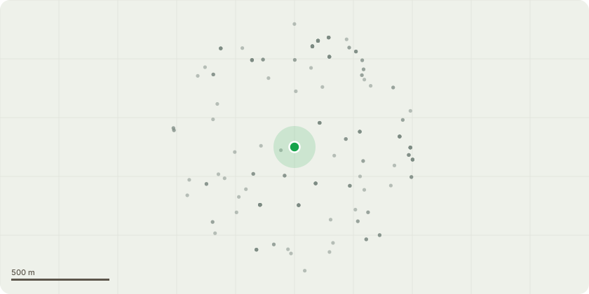
Approximate location
Proposal
Tree works within W1 of TPO 346T1 Ash and adjacent snapped plum - Fell to ground level. T2 Horse Chestnut - Fell to ground level. T8 Grey Willow - Re-pollard to former points. T16 Damson - Coppice small tree to ground level. T17 Yew - Growing adjacent to SE boundary. Small specimen - Reduce South-east side of crown back to give 2m clearance from boundary. To maintain tree within proximity to surroundings.T47 Dutch Elm - Fell to ground level. Moribund.G1 Yew - Group dominated by yew, with occasional Sycamore and rarely Norway maple. Growing around perimeter of ice house. Ivy on trunks and minor deadwood in crown, typical for species and age. Fell self-sown specimens on top of ice house, all marked with orange dot. Fell 3 x self-sown semi-mature maple on SW of ice-house embankment to protect below ground archaeology. Sever ivy at base of 3 individuals on SW of ice house, marked with orange line.G3 Aspen - Group dominant by Aspen - Fell 3 smaller suppressed and etiolated specimens on South corner of group down to ground level. One specimen formerly twin-stemmed from base. Each sprayed with orange dot.
Key dates
- Received 16 Sept 2025
- Validated 16 Sept 2025
- Started 16 Sept 2025
- Decided 5 Dec 2025
Planning history / related applications
No related planning applications have been identified in the current public OGL dataset.
Inside plotEdge
Go beyond the public record
This page is the public OGL record. plotEdge adds the private intelligence layer for this site - open it in the app to unlock:
- Ownership & title Registered owner and title from HM Land Registry.
- Viability & build potential Site scoring and development upside.
- Constraints Flood risk, green belt, conservation areas and designations.
- Approval signal Planning risk and approval-likelihood analysis.
- Comparable applications Decisions on similar nearby sites, side by side.
- Status alerts Get notified the moment this application changes.
Source: public planning application data from Epsom and Ewell, reused under the Open Government Licence v3.0. View the council source record. Council documents and drawings are not republished on plotEdge.