Epsom and Ewell
Epsom and Ewell/24/01202/TPO
West Park Estate West Park Road Epsom Surrey
- Reference
- Epsom and Ewell/24/01202/TPO
- Authority
- Epsom and Ewell
- Application type
- Tree preservation order
- Address
- West Park Estate West Park Road Epsom Surrey
- Status
- Decided
- Decision
- Exempt from the need for consent
- Received
- 16 Sept 2024
- Validated
- 16 Sept 2024
- Started
- 16 Sept 2024
- Decided
- 4 Dec 2024
- Source council
- Epsom and Ewell
- Council source record
- View public record
- Public data licence
- Open Government Licence v3.0
- Record updated
- 6 Aug 2026
- SEO index generated
- 7 Aug 2026
Location
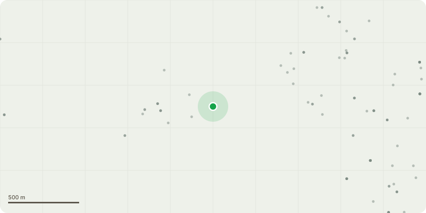
Approximate location
Proposal
Routine safety management tree work within TPO 412 and/ or within the Conservation Area at Noble Park, West Park Road Remove :- 28 Lawson Cypress, 57 Common Ash, 101 Deodar Cedar, 129 Elm, 135 Lawson Cypress, 155 Corsican Pine, G6: 1 Dead Pines& 1 Dead Larch, G4 small dead Ash Horton Lane end, G2 : 10 Ash trees that pose a threat, 239 Birch, 616 Oak, 617 Oak, 621 Oak, 622 Ash, 626 Elm. Left of 11a Richmond Cresent Remove 2 Larch, 3 heaved leaning Pines34 Common Ash - Reduce crown by 25%40 Common Ash - Remove major deadwood over highway.41 Small Leaved Lime: Remove deadwood over parking area.42 Common Ash : Crown reduce by 30% and remove major deadwood.70 Common Ash : Remove dead central stem109 Corsican Pine: Remove major deadwood and stubs over highway112 London Plane : Remove hanging deadwood136 Common Ash: Remove major deadwood178 Sweet Chestnut: Remove major deadwood in crown195 Field Maple: Crown lift to provide 2m clearance over footway289 Weeping Ash: Remove deadwood 307,308 and 309 3 x Cherry crown lift over bays and hard standing.Grp7 Lombardy Poplar x3: Height reduction of 25-30%618 Oak: Remove deadwood619 Ash: Remove deadwood and reshape620 Oak: Remove deadwood over path623 Oak: Remove deadwood and reshape624 Ash: Remove major deadwood625 Oak: Remove deadwood
Key dates
- Received 16 Sept 2024
- Validated 16 Sept 2024
- Started 16 Sept 2024
- Decided 4 Dec 2024
Planning history / related applications
No related planning applications have been identified in the current public OGL dataset.
Inside plotEdge
Go beyond the public record
This page is the public OGL record. plotEdge adds the private intelligence layer for this site - open it in the app to unlock:
- Ownership & title Registered owner and title from HM Land Registry.
- Viability & build potential Site scoring and development upside.
- Constraints Flood risk, green belt, conservation areas and designations.
- Approval signal Planning risk and approval-likelihood analysis.
- Comparable applications Decisions on similar nearby sites, side by side.
- Status alerts Get notified the moment this application changes.
Source: public planning application data from Epsom and Ewell, reused under the Open Government Licence v3.0. View the council source record. Council documents and drawings are not republished on plotEdge.