Enfield
Enfield/25/01360/CND
Meridian Water Willoughby Lane And Meridian Way London N18
- Reference
- Enfield/25/01360/CND
- Authority
- Enfield
- Application type
- CND
- Address
- Meridian Water Willoughby Lane And Meridian Way London N18
- Status
- Decided
- Decision
- Refused
- Received
- 9 Apr 2025
- Validated
- 9 Apr 2025
- Started
- 9 Apr 2025
- Decided
- 2 Jun 2025
- Source council
- Enfield
- Council source record
- View public record
- Public data licence
- Open Government Licence v3.0
- Record updated
- 6 Aug 2026
- SEO index generated
- 7 Aug 2026
Location
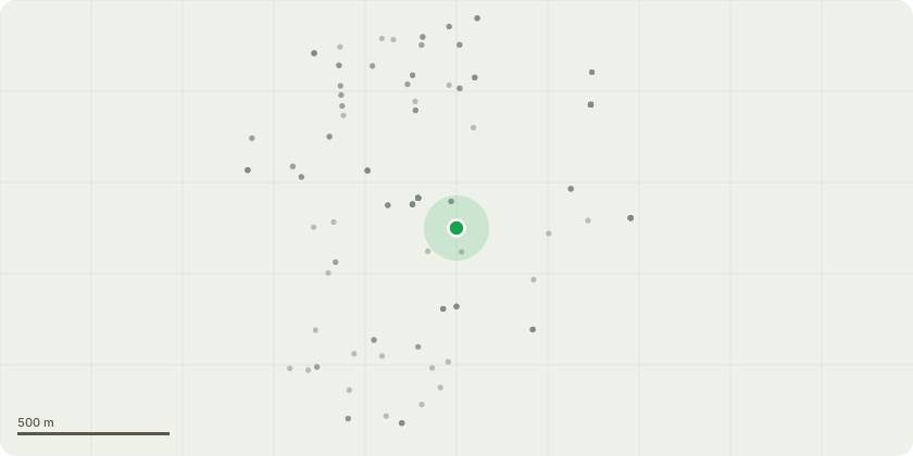
Approximate location
Proposal
Details submitted pursuant to reference 16/01197/RE3: delivery and servicing plan (119) in respect of development of Phase 1 of Meridian Water comprising up to 725 residential units, new station building, platforms and associated interchange and drop-off facilities including a pedestrian link across the railway, a maximum of 950 sqm retail (A1/A2/A3), floorspace, a maximum of 600 sqm of community (D1) floorspace, a maximum of 750 sqm of leisure (D2) floorspace, associated site infrastructure works including ground and remediation works, roads, cycle-ways and footpaths, utility works above and below ground, surface water drainage works, energy centre and associated plant, public open space and childrens play areas, and various temporary meantime uses without structures (landscaping and open space). OUTLINE APPLICATION - ACCESS ONLY. An Environmental Statement, including a non-technical summary, also accompanies the planning application in accordance with the Town and Country Planning (Environmental Impact Assessment) Regulations 2011 (as amended by the 2015 Regulations).
Key dates
- Received 9 Apr 2025
- Validated 9 Apr 2025
- Started 9 Apr 2025
- Decided 2 Jun 2025
Planning history / related applications
No related planning applications have been identified in the current public OGL dataset.
Inside plotEdge
Go beyond the public record
This page is the public OGL record. plotEdge adds the private intelligence layer for this site - open it in the app to unlock:
- Ownership & title Registered owner and title from HM Land Registry.
- Viability & build potential Site scoring and development upside.
- Constraints Flood risk, green belt, conservation areas and designations.
- Approval signal Planning risk and approval-likelihood analysis.
- Comparable applications Decisions on similar nearby sites, side by side.
- Status alerts Get notified the moment this application changes.
Source: public planning application data from Enfield, reused under the Open Government Licence v3.0. View the council source record. Council documents and drawings are not republished on plotEdge.