Enfield
Enfield/25/01256/OA
Land At North Finchley Town Centre
- Reference
- Enfield/25/01256/OA
- Authority
- Enfield
- Application type
- OA
- Address
- Land At North Finchley Town Centre
- Status
- Unknown
- Decision
- No objection Raised - OA
- Received
- 1 Apr 2025
- Validated
- 1 Apr 2025
- Started
- 1 Apr 2025
- Decided
- 9 May 2025
- Source council
- Enfield
- Council source record
- View public record
- Public data licence
- Open Government Licence v3.0
- Record updated
- 6 Aug 2026
- SEO index generated
- 7 Aug 2026
Location
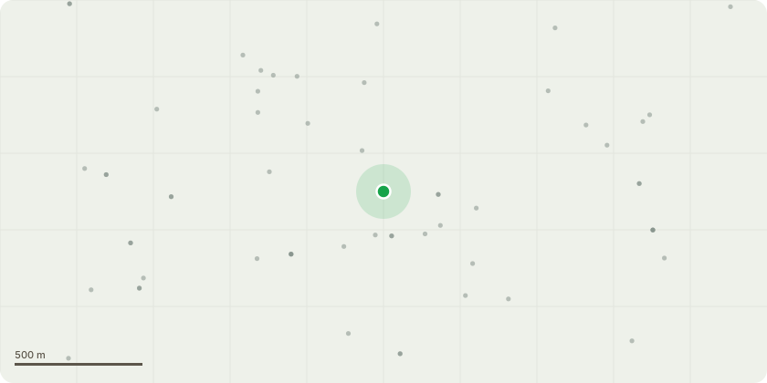
Approximate location
Proposal
Comprehensive, phased mixed use redevelopment through the demolition and alteration of existing buildings/structures and erection of new buildings/structures to provide a range of town centre uses including retail andrelated uses (Use Classes E, and Sui Generis) ; residential (Use Class C3); community facilities (Use Classes F1/F2; landscaping and public realm; alteration of existing and creation of new basements; creation of new and modification ofexisting pedestrian and vehicular access; works to the highway; utility and energy generation facilities; infrastructure and associated facilities, together with any temporary works or structures (OUTLINE APPLICATION), , Further information provided by the applicant for consultation purposes only (not forming part of the formal description of development set out below):, , The Outline Planning Application includes an Illustrative Scheme which indicates one way in which the development for which planning permission is being sought could be delivered. The Illustrative Scheme contains:, - New buildings up to 21 storeys, - 855 new homes (Use Class C3), , in addition to new retail, commercial and community uses, landscaping and public realm, including a new public square, the removal of the gyratory around the Tally Ho triangle and introduction of a two-way road arrangement along High Road.
Key dates
- Received 1 Apr 2025
- Validated 1 Apr 2025
- Started 1 Apr 2025
- Decided 9 May 2025
Planning history / related applications
No related planning applications have been identified in the current public OGL dataset.
Inside plotEdge
Go beyond the public record
This page is the public OGL record. plotEdge adds the private intelligence layer for this site - open it in the app to unlock:
- Ownership & title Registered owner and title from HM Land Registry.
- Viability & build potential Site scoring and development upside.
- Constraints Flood risk, green belt, conservation areas and designations.
- Approval signal Planning risk and approval-likelihood analysis.
- Comparable applications Decisions on similar nearby sites, side by side.
- Status alerts Get notified the moment this application changes.
Source: public planning application data from Enfield, reused under the Open Government Licence v3.0. View the council source record. Council documents and drawings are not republished on plotEdge.