Elmbridge
Elmbridge/2026/2002
Raleigh House Watts Road Thames Ditton Surrey KT7 0DB
- Reference
- Elmbridge/2026/2002
- Authority
- Elmbridge
- Application type
- Tree Preservation Order
- Address
- Raleigh House Watts Road Thames Ditton Surrey KT7 0DB
- Postcode
- KT7 0DB
- Status
- Registered
- Decision
- Not Available
- Received
- 17 Aug 2026
- Started
- 17 Aug 2026
- Source council
- Elmbridge
- Council source record
- View public record
- Public data licence
- Open Government Licence v3.0
- Record updated
- 29 Aug 2026
- SEO index generated
- 30 Aug 2026
Location
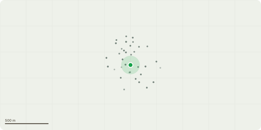
Approximate location
Proposal
Tree Preservation Order EL:04/44 - Significant direct root damage and pavement displacement have occurred along the white concrete access road. The roots of mature trees increase in diameter as they grow, exerting vertical pressure that lifts and cracks rigid overlying surfaces. The southern portion of the driveway, adjacent to T001, T002, and T003, shows severe displacement that has historically been patched using asphalt. The northern section, running past T004, T005, and T006, exhibits severe concrete distortion, heaving, and cracking where no asphalt patching has yet been applied. Because the road is concrete, these abrupt vertical transitions have created pedestrian tripping hazards that require engineering remediation.
Key dates
- Received 17 Aug 2026
- Started 17 Aug 2026
Planning history / related applications
No related planning applications have been identified in the current public OGL dataset.
Inside plotEdge
Go beyond the public record
This page is the public OGL record. plotEdge adds the private intelligence layer for this site - open it in the app to unlock:
- Ownership & title Registered owner and title from HM Land Registry.
- Viability & build potential Site scoring and development upside.
- Constraints Flood risk, green belt, conservation areas and designations.
- Approval signal Planning risk and approval-likelihood analysis.
- Comparable applications Decisions on similar nearby sites, side by side.
- Status alerts Get notified the moment this application changes.
Source: public planning application data from Elmbridge, reused under the Open Government Licence v3.0. View the council source record. Council documents and drawings are not republished on plotEdge.