Elmbridge
Elmbridge/2026/1732
Neath Oak House 9 High Pine Close Weybridge Surrey KT13 9EA
- Reference
- Elmbridge/2026/1732
- Authority
- Elmbridge
- Application type
- Tree Preservation Order
- Address
- Neath Oak House 9 High Pine Close Weybridge Surrey KT13 9EA
- Postcode
- KT13 9EA
- Status
- Registered
- Decision
- Not Available
- Received
- 15 Jul 2026
- Started
- 15 Jul 2026
- Source council
- Elmbridge
- Council source record
- View public record
- Public data licence
- Open Government Licence v3.0
- Record updated
- 5 Aug 2026
- SEO index generated
- 6 Aug 2026
Location
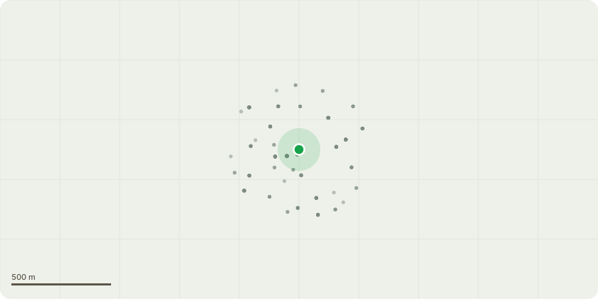
Approximate location
Proposal
Tree Preservation Order EL:09/24 - T1: Tree Species: English Oak (Quercus robur) Approximate Dimensions: Height 13-14m | Spread: N 6m, E 5m, S 6m, W 4m Proposed Works Crown reduction of approximately 1.5 metres to overall height, bringing the tree from its current height of approximately 13 metres to approximately 11.5 metres, with lateral reduction of 1m. All pruning cuts to be made back to suitable growth points in accordance with BS 3998:2010. Reason for Works The tree has been subject to excessive crown lifting, resulting in a significant clear stem and a crown mass concentrated well above the point of maximum leverage. This has reduced the tree's ability to dissipate wind load through lower branch structure, increasing reliance on the upper crown and stem to absorb dynamic loading with little downwards leverage. Given the tree's proximity to the adjacent dwelling, a modest reduction of 1.5 metres to the crown, with lateral reduction of up to 1 metre, is proposed to reduce sail area and end-loading on the primary scaffold limbs. This is a proportionate management measure aimed at reducing the risk of wind-throw or structural failure, while retaining the tree's form, amenity value, and long-term contribution to the streetscene. Works will be limited to appropriate pruning points.
Key dates
- Received 15 Jul 2026
- Started 15 Jul 2026
Planning history / related applications
No related planning applications have been identified in the current public OGL dataset.
Inside plotEdge
Go beyond the public record
This page is the public OGL record. plotEdge adds the private intelligence layer for this site - open it in the app to unlock:
- Ownership & title Registered owner and title from HM Land Registry.
- Viability & build potential Site scoring and development upside.
- Constraints Flood risk, green belt, conservation areas and designations.
- Approval signal Planning risk and approval-likelihood analysis.
- Comparable applications Decisions on similar nearby sites, side by side.
- Status alerts Get notified the moment this application changes.
Source: public planning application data from Elmbridge, reused under the Open Government Licence v3.0. View the council source record. Council documents and drawings are not republished on plotEdge.