Elmbridge
Elmbridge/2026/1709
7 The Heights Weybridge Surrey KT13 0XW
- Reference
- Elmbridge/2026/1709
- Authority
- Elmbridge
- Application type
- Tree Conservation Area
- Address
- 7 The Heights Weybridge Surrey KT13 0XW
- Postcode
- KT13 0XW
- Status
- Registered
- Decision
- Not Available
- Received
- 13 Jul 2026
- Started
- 13 Jul 2026
- Source council
- Elmbridge
- Council source record
- View public record
- Public data licence
- Open Government Licence v3.0
- Record updated
- 31 Jul 2026
- SEO index generated
- 1 Aug 2026
Location
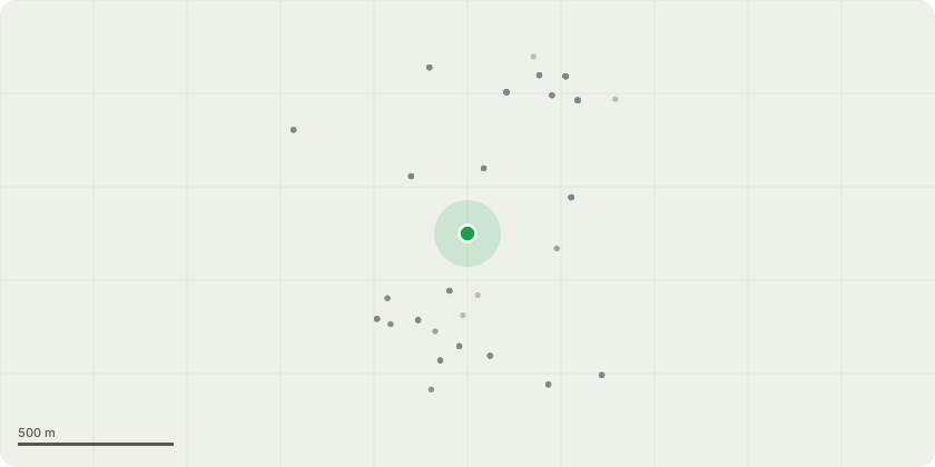
Approximate location
Proposal
Brooklands Conservation Area - x 3 Poplar trees - as you look at the accompanying photo labelled - 'Tree Identification' Tree nearest to the building, that is leaning and the biggest out of the 3, is T1. The tree nearest to the bin, bench and footpath, is T2. The tree that is set back behind T2, is T3. Further to these trees suffering snap outs and dropping large limbs, hitting the gas substation building and streetlamps, particularly as is a commercial site, in a high traffic area, backs onto pond/lake, where employees walk particularly during break/lunchtimes at this time of year. The area is well used as employee recreational area, with a bench/seating area all of which pose significant health & safety risks. RSL have therefore been requested and propose to: Remove T1 down to ground level stump. Pollard T2 & T3 - cutting back to good growth points to ensure the trees can continue to thrive and flourish but in a more manageable way, without the overextended and brittle branches/limbs reducing the chances of further snap outs and can continue to be used as habitat on health and safety grounds.
Key dates
- Received 13 Jul 2026
- Started 13 Jul 2026
Planning history / related applications
No related planning applications have been identified in the current public OGL dataset.
Inside plotEdge
Go beyond the public record
This page is the public OGL record. plotEdge adds the private intelligence layer for this site - open it in the app to unlock:
- Ownership & title Registered owner and title from HM Land Registry.
- Viability & build potential Site scoring and development upside.
- Constraints Flood risk, green belt, conservation areas and designations.
- Approval signal Planning risk and approval-likelihood analysis.
- Comparable applications Decisions on similar nearby sites, side by side.
- Status alerts Get notified the moment this application changes.
Source: public planning application data from Elmbridge, reused under the Open Government Licence v3.0. View the council source record. Council documents and drawings are not republished on plotEdge.