Elmbridge
Elmbridge/2026/1569
1 Kings Manor Court Oatlands Chase Weybridge Surrey KT13 9SG
- Reference
- Elmbridge/2026/1569
- Authority
- Elmbridge
- Application type
- Tree Preservation Order
- Address
- 1 Kings Manor Court Oatlands Chase Weybridge Surrey KT13 9SG
- Postcode
- KT13 9SG
- Status
- Registered
- Decision
- Not Available
- Received
- 25 Jun 2026
- Started
- 25 Jun 2026
- Source council
- Elmbridge
- Council source record
- View public record
- Public data licence
- Open Government Licence v3.0
- Record updated
- 31 Jul 2026
- SEO index generated
- 1 Aug 2026
Location
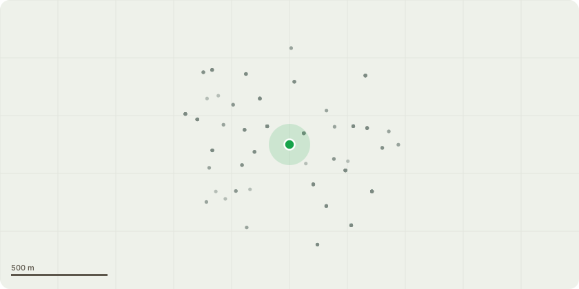
Approximate location
Proposal
Tree Preservation Order EL:20/08 - T38 - Oak Request to fell to ground level due to the tree's significantly declining condition and reduced long-term viability. The tree has been affected by Oak Processionary Moth (OPM), which has resulted in extensive crown dieback and a substantial reduction in vitality. In addition, the tree has suffered historic ring-barking damage caused during the construction of the adjacent residential development. This damage has disrupted the tree's vascular system and has likely contributed to its ongoing decline and limited ability to recover. The combined effects of OPM infestation and the historic stem damage have resulted in a severely compromised tree with extensive deadwood and dieback throughout the crown. The tree is located adjacent to neighbouring properties and areas of public access, and its deteriorating condition increases the risk of branch failure. Given the extent of the decline, poor physiological condition, and limited prospects for recovery, remedial pruning would not provide a sustainable long-term solution. Permission is therefore sought to fell the tree to ground level on the grounds of safety, declining health, and sound arboricultural management. A new tree wouild be planted to replacement
Key dates
- Received 25 Jun 2026
- Started 25 Jun 2026
Planning history / related applications
No related planning applications have been identified in the current public OGL dataset.
Inside plotEdge
Go beyond the public record
This page is the public OGL record. plotEdge adds the private intelligence layer for this site - open it in the app to unlock:
- Ownership & title Registered owner and title from HM Land Registry.
- Viability & build potential Site scoring and development upside.
- Constraints Flood risk, green belt, conservation areas and designations.
- Approval signal Planning risk and approval-likelihood analysis.
- Comparable applications Decisions on similar nearby sites, side by side.
- Status alerts Get notified the moment this application changes.
Source: public planning application data from Elmbridge, reused under the Open Government Licence v3.0. View the council source record. Council documents and drawings are not republished on plotEdge.