East Suffolk
East Suffolk/DC/26/2939/CLP
220 Carlton Road Lowestoft Suffolk NR33 0ND
- Reference
- East Suffolk/DC/26/2939/CLP
- Authority
- East Suffolk
- Application type
- Certificate of lawfulness (proposed)
- Address
- 220 Carlton Road Lowestoft Suffolk NR33 0ND
- Postcode
- NR33 0ND
- Status
- Awaiting decision
- Received
- 19 Aug 2026
- Started
- 19 Aug 2026
- Source council
- East Suffolk
- Council source record
- View public record
- Public data licence
- Open Government Licence v3.0
- Record updated
- 21 Aug 2026
- SEO index generated
- 25 Aug 2026
Location
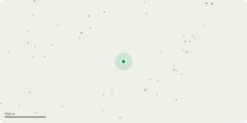
Approximate location
Proposal
Certificate of Lawful Use (Proposed) - The proposed use is as Ofsted-regulated shared supported accommodation for a maximum of three looked-after children or care leavers aged 16 or 17, placed by a local authority. The young people will occupy the property as their main home, each having a private bedroom and sharing the kitchen, bathroom and living areas as one household.Staff will attend on a shift basis to provide day-to-day support with independent-living skills, including cooking, budgeting, cleaning, education, appointments and community participation. Staff will not occupy the property as their sole or main residence. Personal care is not the primary service, but may be provided where specifically identified through an individual assessment and agreed care plan. The property will not operate as a residential care home.The residential use will operate continuously because it is the young peoples home. The premises will not be open to the public and will have no commercial opening hours. No industrial or commercial processes or machinery are proposed, other than normal domestic appliances and equipment. No building works, extension, conversion or external alterations are proposed. The application seeks confirmation that this proposed use remains lawful within Class C3.
Key dates
- Received 19 Aug 2026
- Started 19 Aug 2026
Planning history / related applications
No related planning applications have been identified in the current public OGL dataset.
Inside plotEdge
Go beyond the public record
This page is the public OGL record. plotEdge adds the private intelligence layer for this site - open it in the app to unlock:
- Ownership & title Registered owner and title from HM Land Registry.
- Viability & build potential Site scoring and development upside.
- Constraints Flood risk, green belt, conservation areas and designations.
- Approval signal Planning risk and approval-likelihood analysis.
- Comparable applications Decisions on similar nearby sites, side by side.
- Status alerts Get notified the moment this application changes.
Source: public planning application data from East Suffolk, reused under the Open Government Licence v3.0. View the council source record. Council documents and drawings are not republished on plotEdge.