East Cambridgeshire
East Cambridgeshire/26/01021/TRE
Land Adjacent To Manor Farm, The Street, Snailwell, Newmarket CB8 7LX
- Reference
- East Cambridgeshire/26/01021/TRE
- Authority
- East Cambridgeshire
- Application type
- TRE
- Address
- Land Adjacent To Manor Farm, The Street, Snailwell, Newmarket CB8 7LX
- Postcode
- CB8 7LX
- Status
- Pending Consideration
- Received
- 8 Oct 2026
- Started
- 8 Oct 2026
- Source council
- East Cambridgeshire
- Council source record
- View public record
- Public data licence
- Open Government Licence v3.0
- Record updated
- 16 Oct 2026
- SEO index generated
- 17 Oct 2026
Location
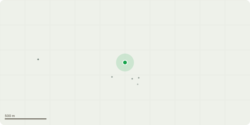
Approximate location
Proposal
T4 Ash - Prune branches back from the road, reducing by up to 2.5m in length. This is to stop the tree leaning too far and putting dangerous weight over the public highway due to base and lower main stem obscured by Ivy. Heavily suppressed by adjacent tree with vertical sweep into open space over road. Bark patterning indicative of ongoing load adaptation. Future growth with be biased over road. T5 Beech - Remove to ground level due to an active helical crack from the base to a significant cavity at 2.5m, alongside extensive major dieback and brittle deadwood in the upper canopy.T6 Norway spruce - Remove completely to ground level. This is because the tree is dead and is a falling safety hazard to surrounding trees due to dead tree within close proximity to others within derelict plantation. Base and stem obscured by ivy. T7 Beech - Remove to ground level due to extensive major dieback and retained brittle deadwood throughout the upper canopy
Key dates
- Received 8 Oct 2026
- Started 8 Oct 2026
Planning history / related applications
No related planning applications have been identified in the current public OGL dataset.
Inside plotEdge
Go beyond the public record
This page is the public OGL record. plotEdge adds the private intelligence layer for this site - open it in the app to unlock:
- Ownership & title Registered owner and title from HM Land Registry.
- Viability & build potential Site scoring and development upside.
- Constraints Flood risk, green belt, conservation areas and designations.
- Approval signal Planning risk and approval-likelihood analysis.
- Comparable applications Decisions on similar nearby sites, side by side.
- Status alerts Get notified the moment this application changes.
Source: public planning application data from East Cambridgeshire, reused under the Open Government Licence v3.0. View the council source record. Council documents and drawings are not republished on plotEdge.