East Cambridgeshire
East Cambridgeshire/24/01094/TPO
The Bury Meadows Bury Road Witcham Cambridgeshire
- Reference
- East Cambridgeshire/24/01094/TPO
- Authority
- East Cambridgeshire
- Application type
- Tree preservation order
- Address
- The Bury Meadows Bury Road Witcham Cambridgeshire
- Status
- Decided
- Decision
- Consent (TREE)
- Received
- 16 Oct 2024
- Validated
- 16 Oct 2024
- Started
- 16 Oct 2024
- Decided
- 27 Nov 2024
- Source council
- East Cambridgeshire
- Council source record
- View public record
- Public data licence
- Open Government Licence v3.0
- Record updated
- 6 Aug 2026
- SEO index generated
- 7 Aug 2026
Location
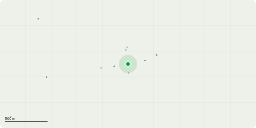
Approximate location
Proposal
Points A to B, Our requirement is to ensure a clear surface is maintained which is wide enough to be safely used by pedestrians, horse riders and vehicles, as is required by its status as a Public Byway Open to All Traffic. The current useable width of the public right of Way has been reduced to 1.5m in places, primarily by encroaching, briars, blackthorn and Hawthorn. The proposal is to clear back the emerging surface vegetation 2m either side of the current clear usable surface. This vegetation is primarily bramble and young blackthorn suckers. In to enable safe use of the route by horse riders any encroaching vegetation / branches within this clearance width will be pruned to provide a clearance height of 4m from ground level.These works will have no impact on any mature trees growing within the boundary of the byway. Due to the density of the vegetation required clearing, this work will be carried out using a tractor mounted flail, ensuring the ground is firm on the date these works are carried out.
Key dates
- Received 16 Oct 2024
- Validated 16 Oct 2024
- Started 16 Oct 2024
- Decided 27 Nov 2024
Planning history / related applications
No related planning applications have been identified in the current public OGL dataset.
Inside plotEdge
Go beyond the public record
This page is the public OGL record. plotEdge adds the private intelligence layer for this site - open it in the app to unlock:
- Ownership & title Registered owner and title from HM Land Registry.
- Viability & build potential Site scoring and development upside.
- Constraints Flood risk, green belt, conservation areas and designations.
- Approval signal Planning risk and approval-likelihood analysis.
- Comparable applications Decisions on similar nearby sites, side by side.
- Status alerts Get notified the moment this application changes.
Source: public planning application data from East Cambridgeshire, reused under the Open Government Licence v3.0. View the council source record. Council documents and drawings are not republished on plotEdge.