Ealing
Ealing/263002CND
Site Of Former Orion Park Northfield Avenue West Ealing W13 9SJ
- Reference
- Ealing/263002CND
- Authority
- Ealing
- Application type
- CND
- Address
- Site Of Former Orion Park Northfield Avenue West Ealing W13 9SJ
- Postcode
- W13 9SJ
- Status
- Pending Consideration
- Received
- 5 Aug 2026
- Started
- 5 Aug 2026
- Source council
- Ealing
- Council source record
- View public record
- Public data licence
- Open Government Licence v3.0
- Record updated
- 15 Aug 2026
- SEO index generated
- 16 Aug 2026
Location
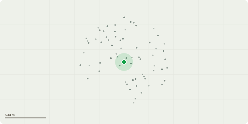
Approximate location
Proposal
Details of London Underground pursuant to part condition 10 of planning permission ref: 213744VAR dated 08.12.2021 for 'Minor Material Amendment (S73a) to vary conditions 2 (Approved Plans and Documents), 3 (Demolition and Site Clearance), 6 (Travel Plan), 7 (Cycle Parking Spaces), 9 (Site Wide Car and Cycle Parking Management Strategy), 22 (passenger lifts), 27 (Commercial Units Use Class), 28 (Bat Survey Report), 30 (Sustainability Measures), 32 (Dwelling Energy Performance Certificates) and 33 (Commercial Spaces Energy Performance Certificates) of planning permission 171721FUL dated 02.02.2018 for the phased construction of buildings comprising residential units (Use Class C3), flexible retail space (Use Class E), office space (Use Class E) (at ground and lower ground of the building fronting Northfield Avenue), landscaping, access and servicing, car parking and associated works (following demolition of existing buildings).Variation seeks to enable amendments to the approved scheme, including additional height and massing, adjustments to the site layout and landscaping and repositioning of buildings in order to increase the number of homes to be constructed, as well as reducing the amount of non-residential floorspace, increasing the car parking and cycle parking provision, adjusting the energy strategy and varying the legal obligation'
Key dates
- Received 5 Aug 2026
- Started 5 Aug 2026
Planning history / related applications
No related planning applications have been identified in the current public OGL dataset.
Inside plotEdge
Go beyond the public record
This page is the public OGL record. plotEdge adds the private intelligence layer for this site - open it in the app to unlock:
- Ownership & title Registered owner and title from HM Land Registry.
- Viability & build potential Site scoring and development upside.
- Constraints Flood risk, green belt, conservation areas and designations.
- Approval signal Planning risk and approval-likelihood analysis.
- Comparable applications Decisions on similar nearby sites, side by side.
- Status alerts Get notified the moment this application changes.
Source: public planning application data from Ealing, reused under the Open Government Licence v3.0. View the council source record. Council documents and drawings are not republished on plotEdge.