Ealing
Ealing/244714CND
51-56 Manor Road And 53-55 Drayton Green Road West Ealing London W13 0LJ
- Reference
- Ealing/244714CND
- Authority
- Ealing
- Application type
- CND
- Address
- 51-56 Manor Road And 53-55 Drayton Green Road West Ealing London W13 0LJ
- Postcode
- W13 0LJ
- Status
- Approved
- Decision
- Approved
- Received
- 27 Nov 2024
- Validated
- 27 Nov 2024
- Started
- 27 Nov 2024
- Decided
- 9 Jan 2025
- Source council
- Ealing
- Council source record
- View public record
- Public data licence
- Open Government Licence v3.0
- Record updated
- 11 Aug 2026
- SEO index generated
- 12 Aug 2026
Location
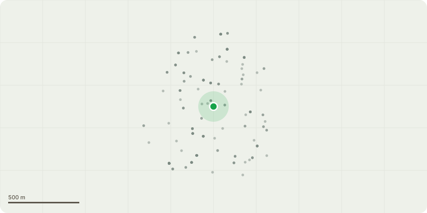
Approximate location
Proposal
Details of an enhanced sound insulation value of at least 5dB above the maximum Building Regulations value, for the floor/ceiling/wall structures separating different types of rooms/uses in adjoining dwellings/areas in pursuant to condition 15 of planning permission Ref: 202231FUL dated 23.12.2020 for : Construction of a building with a basement level, part double-height ground floor with part mezzanine floor and 18 and 12 floors above with roof plant and communal roof garden to accommodate two flexible-use units at ground floor (A1/A2/A3/D1 or D2 use classes) and 144 residential units (100% affordable) on the upper floors (mezzanine to 18th floor) with associated cycle and bin stores, substation, private and communal amenity space and alterations to the highway (following demolition of existing buildings on site).
Key dates
- Received 27 Nov 2024
- Validated 27 Nov 2024
- Started 27 Nov 2024
- Decided 9 Jan 2025
Planning history / related applications
No related planning applications have been identified in the current public OGL dataset.
Inside plotEdge
Go beyond the public record
This page is the public OGL record. plotEdge adds the private intelligence layer for this site - open it in the app to unlock:
- Ownership & title Registered owner and title from HM Land Registry.
- Viability & build potential Site scoring and development upside.
- Constraints Flood risk, green belt, conservation areas and designations.
- Approval signal Planning risk and approval-likelihood analysis.
- Comparable applications Decisions on similar nearby sites, side by side.
- Status alerts Get notified the moment this application changes.
Source: public planning application data from Ealing, reused under the Open Government Licence v3.0. View the council source record. Council documents and drawings are not republished on plotEdge.