Ealing
Ealing/243764CND
Remaining Area Of Acton Gardens Master Plan (South Acton Estate) Acton W3 8TQ
- Reference
- Ealing/243764CND
- Authority
- Ealing
- Application type
- CND
- Address
- Remaining Area Of Acton Gardens Master Plan (South Acton Estate) Acton W3 8TQ
- Postcode
- W3 8TQ
- Status
- Approved
- Decision
- Approved
- Received
- 4 Oct 2024
- Validated
- 4 Oct 2024
- Started
- 4 Oct 2024
- Decided
- 8 Nov 2024
- Source council
- Ealing
- Council source record
- View public record
- Public data licence
- Open Government Licence v3.0
- Record updated
- 11 Aug 2026
- SEO index generated
- 12 Aug 2026
Location
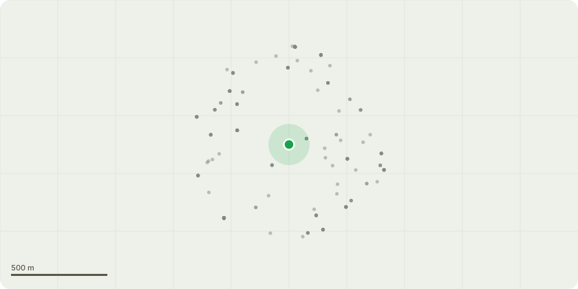
Approximate location
Proposal
Details of Contaminated Land Investigation, Remediation Scheme and Verification part pursuant to Condition 32 part D of outline planning application reference: 182579OUT dated 24.12.2018 for the 'Hybrid planning application for the continued regeneration of the South Acton Estate encompassing an outline mixed use development comprising; up to 195,396sqm residential floorspace (Class C3) with any associated temporary show homes; up to 2,200sqm non-residential floorspace including 1,200sqm of community space (Class D1) and up to 1,000sqm of flexible commercial space (Class A1, A2, A3, B1, D1, D2); an energy centre up to 750sqm, access, open space and public realm. Detailed permission is sought for access, appearance, landscaping, layout and scale of Phase 9.2 comprising 20,612sqm (of the total 195,396sqm) of residential floorspace (Class C3) [203 dwellings] and 123sqm (of the total 1,000sqm) flexible commercial floorspace (Class A1, A2, A3, B1, D1, D2) with associated refuse/recycling and bicycle storage; plant rooms; car parking; works to the public highway, public realm improvements, following the demolition of Buchan House, Anstey Court, properties on Osborne Road and tree removal. (Amended Documents)
Key dates
- Received 4 Oct 2024
- Validated 4 Oct 2024
- Started 4 Oct 2024
- Decided 8 Nov 2024
Planning history / related applications
No related planning applications have been identified in the current public OGL dataset.
Inside plotEdge
Go beyond the public record
This page is the public OGL record. plotEdge adds the private intelligence layer for this site - open it in the app to unlock:
- Ownership & title Registered owner and title from HM Land Registry.
- Viability & build potential Site scoring and development upside.
- Constraints Flood risk, green belt, conservation areas and designations.
- Approval signal Planning risk and approval-likelihood analysis.
- Comparable applications Decisions on similar nearby sites, side by side.
- Status alerts Get notified the moment this application changes.
Source: public planning application data from Ealing, reused under the Open Government Licence v3.0. View the council source record. Council documents and drawings are not republished on plotEdge.