Dover
Dover/26/00023
Broad Oak Canterbury
- Reference
- Dover/26/00023
- Authority
- Dover
- Address
- Broad Oak Canterbury
- Status
- Decided
- Decision
- Raise No Objection
- Received
- 7 Jan 2026
- Validated
- 8 Jan 2026
- Started
- 8 Jan 2026
- Decided
- 5 Feb 2026
- Source council
- Dover
- Council source record
- View public record
- Public data licence
- Open Government Licence v3.0
- Record updated
- 6 Aug 2026
- SEO index generated
- 7 Aug 2026
Location
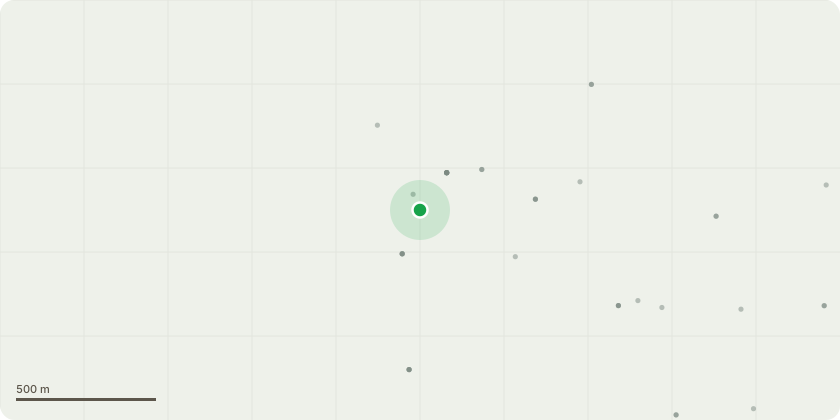
Approximate location
Proposal
CA/25/02340 - EIA Scoping opinion request for creation of water storage reservoir with a storage capacity that would be approximately 5,126 million litres and a surface area of approximately 70 hectares, engineering operationsincluding erection of up to 17m high embankments, creation of raw water abstraction points and pipelines, erection of common high lift transfer pumping station, installation of potable water pipeline running approximately 7.5km west connecting the reservoir water treatment works (WTW) with the existing Blean Service Reservoir, and associated non-water infrastructure elements such as bypass channel of the Sarre Penn and a fish pass, site access and interal access roads, visitor amenities hub, car parking, open spaces, wetland storage area, improvements to footpath, cycleway and bridleway networks, landscape and biodiversity habitat proposals, such as woodland, scrub, hedgerows, grassland, wetland and other habitat features, utility diversion and diversion of minor roads and footpaths withinthe footprint of the reservoir.
Key dates
- Received 7 Jan 2026
- Validated 8 Jan 2026
- Started 8 Jan 2026
- Decided 5 Feb 2026
Planning history / related applications
No related planning applications have been identified in the current public OGL dataset.
Inside plotEdge
Go beyond the public record
This page is the public OGL record. plotEdge adds the private intelligence layer for this site - open it in the app to unlock:
- Ownership & title Registered owner and title from HM Land Registry.
- Viability & build potential Site scoring and development upside.
- Constraints Flood risk, green belt, conservation areas and designations.
- Approval signal Planning risk and approval-likelihood analysis.
- Comparable applications Decisions on similar nearby sites, side by side.
- Status alerts Get notified the moment this application changes.
Source: public planning application data from Dover, reused under the Open Government Licence v3.0. View the council source record. Council documents and drawings are not republished on plotEdge.