Dacorum
Dacorum/25/02916/MOA
Land East Of Hemel Hempstead South Of B487 Hemel Hempstead Road And North Of A4147 Hemel Hempstead Road Leverstock Green Hemel Hempstead Hertfordshire
- Reference
- Dacorum/25/02916/MOA
- Authority
- Dacorum
- Application type
- MOA
- Address
- Land East Of Hemel Hempstead South Of B487 Hemel Hempstead Road And North Of A4147 Hemel Hempstead Road Leverstock Green Hemel Hempstead Hertfordshire
- Status
- With planning case officer
- Received
- 27 Nov 2025
- Validated
- 4 Dec 2025
- Started
- 4 Dec 2025
- Source council
- Dacorum
- Council source record
- View public record
- Public data licence
- Open Government Licence v3.0
- Record updated
- 6 Aug 2026
- SEO index generated
- 7 Aug 2026
Location
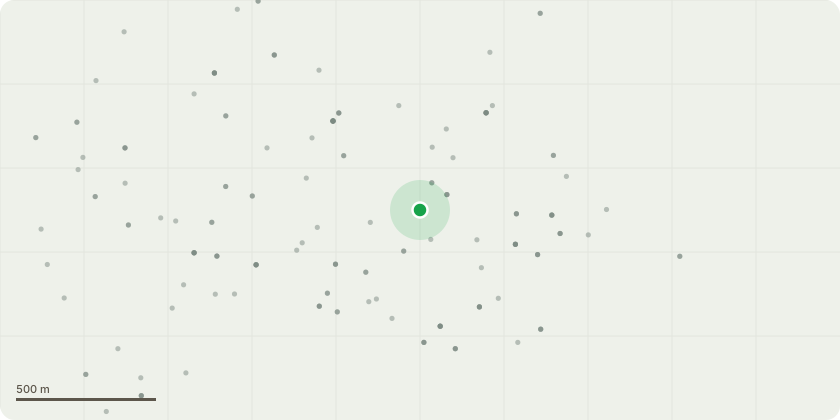
Approximate location
Proposal
Outline application for: urban extension comprising two new neighbourhoods and a new employment zone. The development to include new dwellings (including affordable housing and specialist accommodation for older people); new employment and industrial floorspace and ancillary facilities, a sports hub and Sports Pitches; green infrastructure and landscaping works (to include a country park, formal and informal open space, amenity space, Suitable Alternative Natural Greenspace, managed woodland, ecological areas); early years, nursery, primary and secondary education facilities; local centre uses (to include retail, community and employment uses; health and fitness, gym and other cultural and recreational uses; medical centre; transport mobility hubs; drainage works (including foul and surface water drainage infrastructure); ancillary infrastructure works; vehicular and active travel infrastructure; improvements to the Nickey Line and delivery of a proportion of the Hemel Garden Communities Green Loop; land for Gypsy and Traveller pitches; provision of an active travel bridge over the A414; safeguarded land for M1 Junction 8 improvements; ground remodelling, acoustic bund, engineering and demolition works. All matters reserved save for access from the A414/Green Lane junction and access from the B487/Hemel Hempstead Road (Redbourn Road).
Key dates
- Received 27 Nov 2025
- Validated 4 Dec 2025
- Started 4 Dec 2025
Planning history / related applications
No related planning applications have been identified in the current public OGL dataset.
Inside plotEdge
Go beyond the public record
This page is the public OGL record. plotEdge adds the private intelligence layer for this site - open it in the app to unlock:
- Ownership & title Registered owner and title from HM Land Registry.
- Viability & build potential Site scoring and development upside.
- Constraints Flood risk, green belt, conservation areas and designations.
- Approval signal Planning risk and approval-likelihood analysis.
- Comparable applications Decisions on similar nearby sites, side by side.
- Status alerts Get notified the moment this application changes.
Source: public planning application data from Dacorum, reused under the Open Government Licence v3.0. View the council source record. Council documents and drawings are not republished on plotEdge.