Croydon
Croydon/26/02882/TRE
Flat 1 Podina House 16B Highfield Hill Upper Norwood London SE19 3PS
- Reference
- Croydon/26/02882/TRE
- Authority
- Croydon
- Application type
- TRE
- Address
- Flat 1 Podina House 16B Highfield Hill Upper Norwood London SE19 3PS
- Postcode
- SE19 3PS
- Status
- Awaiting decision
- Received
- 13 Oct 2026
- Started
- 13 Oct 2026
- Source council
- Croydon
- Council source record
- View public record
- Public data licence
- Open Government Licence v3.0
- Record updated
- 14 Oct 2026
- SEO index generated
- 15 Oct 2026
Location
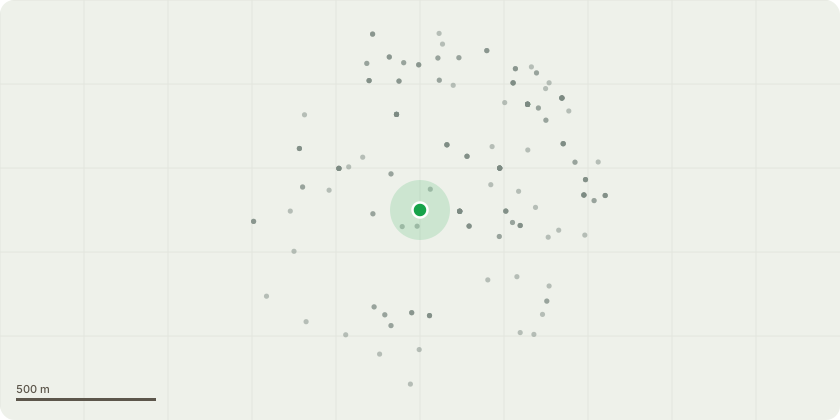
Approximate location
Proposal
T1 Oak tree pollard leaving at approximately 8m.Reasons: A picus test has been carried out. This Oak has substantial dead branches mainly in the upper crown South/Eastly side above the evident fungal brackets. This indicates root failure and an extensive decay below this area. There is further dieback throughout the crown and insect activity producing ?frass? up the main trunk. Taking these symptoms of decline into account and in view of this specimen?s location it is appropriate to recommend that the whole crown should be removed effectively turning the Oak into ?monolith? on the grounds of health and safety.(TPO 37, 1988 and 12, 2017)
Key dates
- Received 13 Oct 2026
- Started 13 Oct 2026
Planning history / related applications
No related planning applications have been identified in the current public OGL dataset.
Inside plotEdge
Go beyond the public record
This page is the public OGL record. plotEdge adds the private intelligence layer for this site - open it in the app to unlock:
- Ownership & title Registered owner and title from HM Land Registry.
- Viability & build potential Site scoring and development upside.
- Constraints Flood risk, green belt, conservation areas and designations.
- Approval signal Planning risk and approval-likelihood analysis.
- Comparable applications Decisions on similar nearby sites, side by side.
- Status alerts Get notified the moment this application changes.
Source: public planning application data from Croydon, reused under the Open Government Licence v3.0. View the council source record. Council documents and drawings are not republished on plotEdge.