Crawley
Crawley/CR/2025/0334/CON
Land West of Ifield, Charlwood Road, Ifield, West Sussex
- Reference
- Crawley/CR/2025/0334/CON
- Authority
- Crawley
- Application type
- Consultation
- Address
- Land West of Ifield, Charlwood Road, Ifield, West Sussex
- Status
- Objection
- Decision
- OBJECTION
- Received
- 4 Sept 2025
- Started
- 4 Sept 2025
- Decided
- 2 Dec 2025
- Source council
- Crawley
- Council source record
- View public record
- Public data licence
- Open Government Licence v3.0
- Record updated
- 6 Aug 2026
- SEO index generated
- 7 Aug 2026
Location
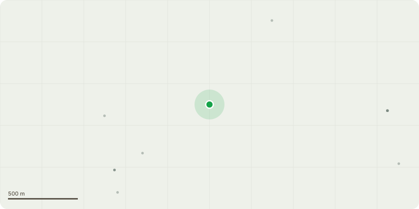
Approximate location
Proposal
Consultation from Horsham District Council for Hybrid planning application (part outline and part full planning application) for a phased, mixed use development comprising: A full element covering enabling infrastructure including the Crawley Western Multi-Modal Corridor (Phase 1, including access from Charlwood Road and crossing points) and access infrastructure to enable servicing and delivery of secondary school site and future development, including access to Rusper Road, supported by associated infrastructure, utilities and works, alongside: An outline element (with all matters reserved) including up to 3,000 residential homes (Class C2 and C3), commercial, business and service (Class E), general industrial (Class B2), storage or distribution (Class B8), hotel (Class C1), community and education facilities (Use Classes F1 and F2), gypsy and traveller pitches (sui generis), public open space with sports pitches, recreation, play and ancillary facilities, landscaping, water abstraction boreholes and associated infrastructure, utilities and works, including pedestrian and cycle routes and enabling demolition. This hybrid planning application is for a phased development intended to be capable of coming forward in distinct and separable phases and/or plots in a severable way (HDC application reference DC/25/1312)
Key dates
- Received 4 Sept 2025
- Started 4 Sept 2025
- Decided 2 Dec 2025
Planning history / related applications
No related planning applications have been identified in the current public OGL dataset.
Inside plotEdge
Go beyond the public record
This page is the public OGL record. plotEdge adds the private intelligence layer for this site - open it in the app to unlock:
- Ownership & title Registered owner and title from HM Land Registry.
- Viability & build potential Site scoring and development upside.
- Constraints Flood risk, green belt, conservation areas and designations.
- Approval signal Planning risk and approval-likelihood analysis.
- Comparable applications Decisions on similar nearby sites, side by side.
- Status alerts Get notified the moment this application changes.
Source: public planning application data from Crawley, reused under the Open Government Licence v3.0. View the council source record. Council documents and drawings are not republished on plotEdge.