Coventry
Coventry/PL/2026/0001195/RVC
Land Bounded By, Hall Brook Bennetts Road South, Coventry
- Reference
- Coventry/PL/2026/0001195/RVC
- Authority
- Coventry
- Application type
- RVC Application for removal or variation of a condition following grant of planning permission
- Address
- Land Bounded By, Hall Brook Bennetts Road South, Coventry
- Received
- 5 Jul 2026
- Started
- 5 Jul 2026
- Source council
- Coventry
- Council source record
- View public record
- Public data licence
- Open Government Licence v3.0
- Record updated
- 6 Aug 2026
- SEO index generated
- 20 Oct 2026
Location
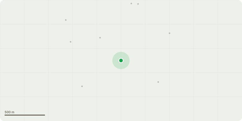
Approximate location
Proposal
Variation of condition 8-gross floor area to allow for a lager veterinary unit: imposed on planning application RMM/2021/2514 for Submission of reserved Matters in accordance with condition 1 for layout, internal access arrangements, scale, appearance and landscape details for local centre, comprising of 1,505sqm across seven units pursuant to planning permission S73/2020/0285 granted on 22nd April 2020 for variation of condition 8 (to allow one retail unit within the local centre to have floorspace up to 500 sq m) imposed upon outline permission OUT/2014/2282 for the erection of up to 800 dwellings, with associated Local Centre comprising Convenience Store (Class A1) Retail/Commercial Units (Class A1, A2, A3, A5 and/or D1); a Primary School; Public Open Space (including equipped play area); allotments; nature conservation area; and landscaping; The outline application was accompanied by an Environmental Statement. | Historic Reference: OUT/2014/2282
Key dates
- Received 5 Jul 2026
- Started 5 Jul 2026
Planning history / related applications
No related planning applications have been identified in the current public OGL dataset.
Inside plotEdge
Go beyond the public record
This page is the public OGL record. plotEdge adds the private intelligence layer for this site - open it in the app to unlock:
- Ownership & title Registered owner and title from HM Land Registry.
- Viability & build potential Site scoring and development upside.
- Constraints Flood risk, green belt, conservation areas and designations.
- Approval signal Planning risk and approval-likelihood analysis.
- Comparable applications Decisions on similar nearby sites, side by side.
- Status alerts Get notified the moment this application changes.
Source: public planning application data from Coventry, reused under the Open Government Licence v3.0. View the council source record. Council documents and drawings are not republished on plotEdge.