County Durham
County Durham/DM/26/02687/CEU
Cookes West Wood Alum Waters New Brancepeth DH7 7JP
- Reference
- County Durham/DM/26/02687/CEU
- Authority
- County Durham
- Application type
- CEU
- Address
- Cookes West Wood Alum Waters New Brancepeth DH7 7JP
- Postcode
- DH7 7JP
- Status
- Pending Consideration
- Received
- 8 Oct 2026
- Started
- 8 Oct 2026
- Source council
- County Durham
- Council source record
- View public record
- Public data licence
- Open Government Licence v3.0
- Record updated
- 14 Oct 2026
- SEO index generated
- 17 Oct 2026
Location
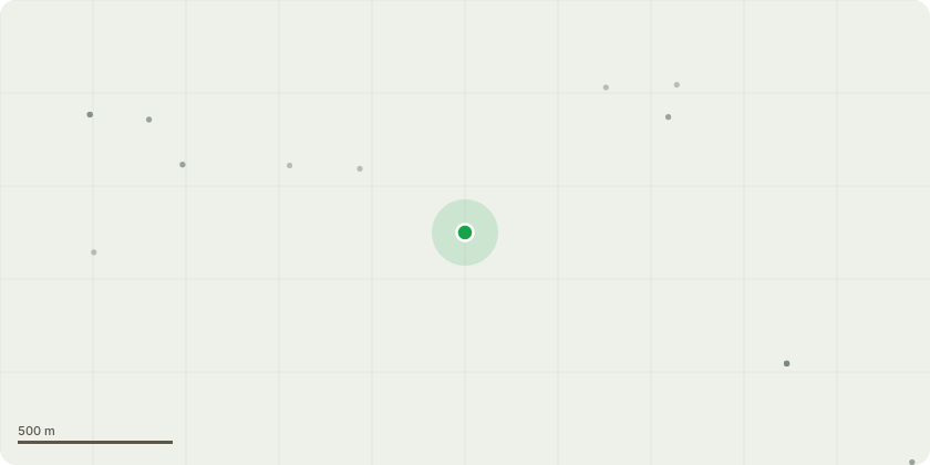
Approximate location
Proposal
Use of the site as a composite use for the purposes of agriculture, forestry, and land-based operations; a vegetable box scheme, craft and education courses, together with the construction and residential occupation of dwellings (use class C3) and other residential structures available to, and occupied by, persons by reason of and for so long as they are engaged in that use together with their families; such structures being identified on the annexed plan and schedule and marked thereon in green comprising: Houses 1, 2 and 3, the Yurt, the Well, and the Geodome, together with the use of further structures, identified on the annexed plan and schedule and marked thereon in yellow comprising: the Tunnel, the two Caravans, the Field Shelter, the Hen House, the Compost Toilet, the two Timber Stores, the Tool Shed, and the Summerhouse, being either incidental or ancillary to the said use where stated and including the accommodation on a transient basis of volunteers and visitors engaged in or assisting with that use, but excluding any use of the structures numbered [014] Tool Shed and [015] Summerhouse otherwise than as operational development by s171B(1), such composite use, taken as a whole, not falling within any use class specified in the Town and Country Planning (Use Classes) Order 1987 (as amended) and being accordingly a sui generis use and Operational Development: The erection of the operational development identified in the Buildings Schedule hereto and marked thereon [1] to [15] at their respective locations on the plan.
Key dates
- Received 8 Oct 2026
- Started 8 Oct 2026
Planning history / related applications
No related planning applications have been identified in the current public OGL dataset.
Inside plotEdge
Go beyond the public record
This page is the public OGL record. plotEdge adds the private intelligence layer for this site - open it in the app to unlock:
- Ownership & title Registered owner and title from HM Land Registry.
- Viability & build potential Site scoring and development upside.
- Constraints Flood risk, green belt, conservation areas and designations.
- Approval signal Planning risk and approval-likelihood analysis.
- Comparable applications Decisions on similar nearby sites, side by side.
- Status alerts Get notified the moment this application changes.
Source: public planning application data from County Durham, reused under the Open Government Licence v3.0. View the council source record. Council documents and drawings are not republished on plotEdge.