County Durham
County Durham/DM/26/01573/DRC
Land To The South Of Elstob Road Aycliffe Business Park Newton Aycliffe
- Reference
- County Durham/DM/26/01573/DRC
- Authority
- County Durham
- Application type
- DRC
- Address
- Land To The South Of Elstob Road Aycliffe Business Park Newton Aycliffe
- Status
- Pending Consideration
- Received
- 17 Jun 2026
- Started
- 17 Jun 2026
- Source council
- County Durham
- Council source record
- View public record
- Public data licence
- Open Government Licence v3.0
- Record updated
- 6 Aug 2026
- SEO index generated
- 21 Oct 2026
Location
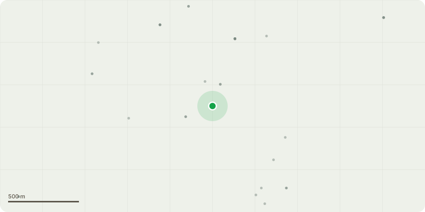
Approximate location
Proposal
Discharge of condition 6 relating to Building Research Establishment Environmental Assessment Method (BREEAM) pursuant to planning permission DM/22/01244/FPACondition 7: There will be 4 types of cladding. 18-b-25 merlin grey vertically fixed tata trisomet wall panels, 10-a-05 goosewing grey vertically fixed tata trisomet wall panels, ral 9002 hamlet vertically fixed tata trisomet wall panels and ral 7016 anthracite grey vertically fixed tata trimapanel wall panels.Condition 12: Please find enclosed a drawing (PPC39 - 1322 - EV charger drawing) showing where EV chargers will be installed and the electric vehicle charger data sheet (BG SyncEV Wall Charger Socketed Datasheet). Ducts will also be added for the 8no. passive charging points. Condition 14: The boundary of the site will be enclosed with a 2.4m paladin fence.
Key dates
- Received 17 Jun 2026
- Started 17 Jun 2026
Planning history / related applications
No related planning applications have been identified in the current public OGL dataset.
Inside plotEdge
Go beyond the public record
This page is the public OGL record. plotEdge adds the private intelligence layer for this site - open it in the app to unlock:
- Ownership & title Registered owner and title from HM Land Registry.
- Viability & build potential Site scoring and development upside.
- Constraints Flood risk, green belt, conservation areas and designations.
- Approval signal Planning risk and approval-likelihood analysis.
- Comparable applications Decisions on similar nearby sites, side by side.
- Status alerts Get notified the moment this application changes.
Source: public planning application data from County Durham, reused under the Open Government Licence v3.0. View the council source record. Council documents and drawings are not republished on plotEdge.