County Durham
County Durham/DM/25/00196/VOC
Development Site At Graham Court Sacriston DH7 6LW
- Reference
- County Durham/DM/25/00196/VOC
- Authority
- County Durham
- Application type
- VOC
- Address
- Development Site At Graham Court Sacriston DH7 6LW
- Postcode
- DH7 6LW
- Status
- Decided
- Decision
- Approved BNG Not Required
- Received
- 24 Jan 2025
- Validated
- 27 Jan 2025
- Started
- 27 Jan 2025
- Decided
- 7 Apr 2025
- Source council
- County Durham
- Council source record
- View public record
- Public data licence
- Open Government Licence v3.0
- Record updated
- 11 Aug 2026
- SEO index generated
- 22 Oct 2026
Location
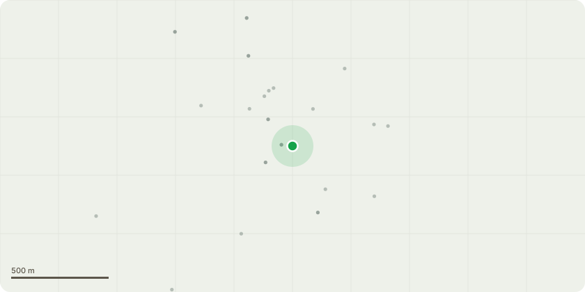
Approximate location
Proposal
Variation of condition 2 (Approved Plans) pursuant of planning permission DM/19/03091/FPA to revise retaining structures to south-east and south-west site perimeter; design drawings of access bridges to Plots 12-21; reduced height and design drawings of fall protection railings adjacent to Plots 12-21; omission of water-tabling to Plots 16-21; ground floor WC windows omitted Plots 03, 06, 07, 25; upper floor bi-folds replaced with French doors to Plots 12-21; reduced gable window sizes to Plots 01, 11, 23, gable windows omitted to Plots 22, 23 ; vary rooflines and upper floor window locations Plots 16-21; revised wrap-around cladding Plots 16, 21, 22, 23; car parking re-arranged Plot 22; traffic bollards added to south-east site periphery; retaining wall facing material and scheme-wide revisions to facing bricks, roof tiles, and rainwater goods; revised elevational information to coordinate scheme-wide finished floor levels
Key dates
- Received 24 Jan 2025
- Validated 27 Jan 2025
- Started 27 Jan 2025
- Decided 7 Apr 2025
Planning history / related applications
No related planning applications have been identified in the current public OGL dataset.
Inside plotEdge
Go beyond the public record
This page is the public OGL record. plotEdge adds the private intelligence layer for this site - open it in the app to unlock:
- Ownership & title Registered owner and title from HM Land Registry.
- Viability & build potential Site scoring and development upside.
- Constraints Flood risk, green belt, conservation areas and designations.
- Approval signal Planning risk and approval-likelihood analysis.
- Comparable applications Decisions on similar nearby sites, side by side.
- Status alerts Get notified the moment this application changes.
Source: public planning application data from County Durham, reused under the Open Government Licence v3.0. View the council source record. Council documents and drawings are not republished on plotEdge.