City of London
City of London/26/00813/FULMAJ
Friary Court 65 Crutched Friars London EC3N 2AE
- Reference
- City of London/26/00813/FULMAJ
- Authority
- City of London
- Application type
- FULMAJ
- Address
- Friary Court 65 Crutched Friars London EC3N 2AE
- Postcode
- EC3N 2AE
- Status
- Under Consideration
- Received
- 8 Jun 2026
- Started
- 8 Jun 2026
- Source council
- City of London
- Council source record
- View public record
- Public data licence
- Open Government Licence v3.0
- Record updated
- 1 Aug 2026
- SEO index generated
- 2 Aug 2026
Location
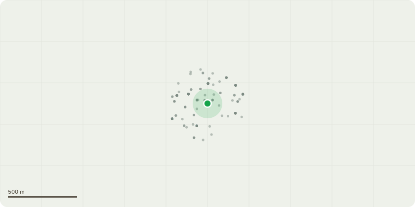
Approximate location
Proposal
Application under Section 73 of the Town and Country Planning Act 1990 (as amended) in relation to planning permission 22/00882/FULMAJ dated 27 June 2023 to vary Condition 48 (Cycle Parking Facilities) to reduce the number of cycle parking spaces in line with documented utilisation by users of comparable PBSA buildings; vary Condition 70 (Museum Use Floorspace) to remove reference to the approved quantum of museum floorspace; and vary Condition 71 (Approved Drawings) to reflect: (i) internal amendments to the museum layout at Ground and First Floors; (ii) the replacement of museum floorspace at Level 2 with 33 additional PBSA rooms and increased amenity space; (iii) the installation of external plant and associated plant enclosure at Level 3, together with a freestanding frame to provide greening; and (iv) consequential amendments relating to the revised cycle parking provision and museum floorspace, alongside a Deed of Variation to the Section 106 Agreement to amend the definition of Museum Space, update the Museum Space plans to reflect the Section 73 amendments, and provide that the Deed of Variation come into effect upon implementation of the Section 73 permission.
Key dates
- Received 8 Jun 2026
- Started 8 Jun 2026
Planning history / related applications
No related planning applications have been identified in the current public OGL dataset.
Inside plotEdge
Go beyond the public record
This page is the public OGL record. plotEdge adds the private intelligence layer for this site - open it in the app to unlock:
- Ownership & title Registered owner and title from HM Land Registry.
- Viability & build potential Site scoring and development upside.
- Constraints Flood risk, green belt, conservation areas and designations.
- Approval signal Planning risk and approval-likelihood analysis.
- Comparable applications Decisions on similar nearby sites, side by side.
- Status alerts Get notified the moment this application changes.
Source: public planning application data from City of London, reused under the Open Government Licence v3.0. View the council source record. Council documents and drawings are not republished on plotEdge.