City of London
City of London/26/00512/NMA
St Brides House 10 Salisbury Square London EC4Y 8EH
- Reference
- City of London/26/00512/NMA
- Authority
- City of London
- Application type
- Non-material amendment
- Address
- St Brides House 10 Salisbury Square London EC4Y 8EH
- Postcode
- EC4Y 8EH
- Status
- Decided
- Decision
- Approved
- Received
- 10 Apr 2026
- Validated
- 21 Apr 2026
- Started
- 21 Apr 2026
- Decided
- 12 Jun 2026
- Source council
- City of London
- Council source record
- View public record
- Public data licence
- Open Government Licence v3.0
- Record updated
- 11 Aug 2026
- SEO index generated
- 12 Aug 2026
Location
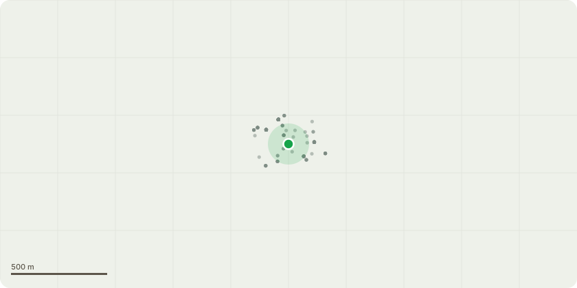
Approximate location
Proposal
Non-material amendment under Section 96A of the Town and Country Planning Act 1990 (as amended) to vary Condition 39 (Approved Drawings) of planning permission ref: 25/00664/FULMAJ dated 23.12.2025, to accommodate design amendments, namely: (i) column strengthening within St Bride's Passage (ii) retention and alterations to balustrades at ground floor level (iii) provision of metal balustrades at levels 01 to 05 (iv) provision of safety line system and foldable guardrail at roof level (v) extension of static walkway balustrades at roof level (vi) retention of external wall upstand at level 01 (vii) reduction in size of loading bay rolling shutter (viii) reconfiguration of basement level layout (ix) reconfiguration of west core and riser layout (x) reconfiguration of reception and loading bay layout at ground floor level (xi) Provision of inward opening doors at ground floor level (xii) provision of an AOV, access hatch and smoke extract fan at roof level (xiii) reconfiguration of roof access ladder and stairs.
Key dates
- Received 10 Apr 2026
- Validated 21 Apr 2026
- Started 21 Apr 2026
- Decided 12 Jun 2026
Planning history / related applications
No related planning applications have been identified in the current public OGL dataset.
Inside plotEdge
Go beyond the public record
This page is the public OGL record. plotEdge adds the private intelligence layer for this site - open it in the app to unlock:
- Ownership & title Registered owner and title from HM Land Registry.
- Viability & build potential Site scoring and development upside.
- Constraints Flood risk, green belt, conservation areas and designations.
- Approval signal Planning risk and approval-likelihood analysis.
- Comparable applications Decisions on similar nearby sites, side by side.
- Status alerts Get notified the moment this application changes.
Source: public planning application data from City of London, reused under the Open Government Licence v3.0. View the council source record. Council documents and drawings are not republished on plotEdge.