City of London
City of London/26/00018/NMA
68 King William Street London EC4N 7HR
- Reference
- City of London/26/00018/NMA
- Authority
- City of London
- Application type
- Non-material amendment
- Address
- 68 King William Street London EC4N 7HR
- Postcode
- EC4N 7HR
- Status
- Withdrawn
- Decision
- Withdrawn
- Received
- 7 Jan 2026
- Validated
- 7 Jan 2026
- Started
- 7 Jan 2026
- Decided
- 23 Apr 2026
- Source council
- City of London
- Council source record
- View public record
- Public data licence
- Open Government Licence v3.0
- Record updated
- 1 Aug 2026
- SEO index generated
- 2 Aug 2026
Location
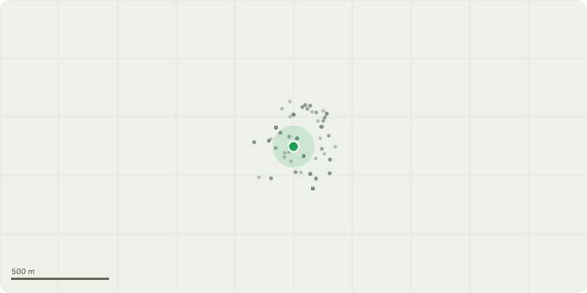
Approximate location
Proposal
Non material amendments under section 96A of the Town and Country Planning Act 1990 (as amended) to Conditon 13 of planning permission reference 20/00802/FULL dated 28/01/2021 20/00802/FULL Date of Decision: 30/07/2020Condition Number(s): Condition 13 of planning permission 20/00802/FULL varying the condition on the 2019 permission:Condition 13 states as follows:The roof terraces on level 9 and 10 hereby permitted shall not be used or accessed bymembers of the public between the hours of midnight on one day and 8.00 on the followingday and not at any time on Sundays or Bank Holidays, other than in the case of emergency.Conditions(s) Removal:To align the planning permission with the current premises licence for Wagtail (LN/200508782, as varied in March 2025), which now permits operation of the premises (INCLUDING the terraces) to 02:00 seven days a week in line with the premises opening hours , subject to detailed licence conditions and an agreed Operational Management Plan. Amenity is already safeguarded by existing planning conditions controlling noise from plant and music, together with the Operational Management Plan and licensing controls, so a separate planning hours restriction on the terraces is now in the submission of the applicant, unnecessary and duplicative.deletion of condition 13
Key dates
- Received 7 Jan 2026
- Validated 7 Jan 2026
- Started 7 Jan 2026
- Decided 23 Apr 2026
Planning history / related applications
No related planning applications have been identified in the current public OGL dataset.
Inside plotEdge
Go beyond the public record
This page is the public OGL record. plotEdge adds the private intelligence layer for this site - open it in the app to unlock:
- Ownership & title Registered owner and title from HM Land Registry.
- Viability & build potential Site scoring and development upside.
- Constraints Flood risk, green belt, conservation areas and designations.
- Approval signal Planning risk and approval-likelihood analysis.
- Comparable applications Decisions on similar nearby sites, side by side.
- Status alerts Get notified the moment this application changes.
Source: public planning application data from City of London, reused under the Open Government Licence v3.0. View the council source record. Council documents and drawings are not republished on plotEdge.