City of London
City of London/26/00008/MDC
42 - 43 Charterhouse Square London EC1M 6EW
- Reference
- City of London/26/00008/MDC
- Authority
- City of London
- Application type
- MDC
- Address
- 42 - 43 Charterhouse Square London EC1M 6EW
- Postcode
- EC1M 6EW
- Status
- Under Consideration
- Received
- 5 Jan 2026
- Started
- 5 Jan 2026
- Source council
- City of London
- Council source record
- View public record
- Public data licence
- Open Government Licence v3.0
- Record updated
- 1 Aug 2026
- SEO index generated
- 2 Aug 2026
Location
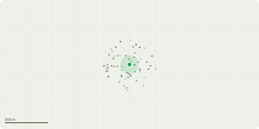
Approximate location
Proposal
Submission of (a) accommodate the location of the existing London Underground structures and tunnels and assess any structural impact due to the proposed works; (b) provide detailed design and Risk Assessment Method Statement for all demolition, temporary and permanent works; (c) provide detailed design and Risk Assessment Method Statement on the use of tall plant/scaffolding/lifting equipment; (d) demonstrate that there will at no time be any potential security risk to our railway, property or structures; (e) mitigate the effects of noise arising from the proposed works on LU assets; and (f) no works to commence on any part of TfL/LU Property or in it's airspace until any agreements required with TfL Engineering, TfL Property or TfL Legal have been agreed and signed by all parties pursuant to condition 5 of planning permission 24/00155/FULL dated 02/07/2024.
Key dates
- Received 5 Jan 2026
- Started 5 Jan 2026
Planning history / related applications
No related planning applications have been identified in the current public OGL dataset.
Inside plotEdge
Go beyond the public record
This page is the public OGL record. plotEdge adds the private intelligence layer for this site - open it in the app to unlock:
- Ownership & title Registered owner and title from HM Land Registry.
- Viability & build potential Site scoring and development upside.
- Constraints Flood risk, green belt, conservation areas and designations.
- Approval signal Planning risk and approval-likelihood analysis.
- Comparable applications Decisions on similar nearby sites, side by side.
- Status alerts Get notified the moment this application changes.
Source: public planning application data from City of London, reused under the Open Government Licence v3.0. View the council source record. Council documents and drawings are not republished on plotEdge.