City of London
City of London/25/01674/NMA
55 And 65 Old Broad Street London EC2M 1RX
- Reference
- City of London/25/01674/NMA
- Authority
- City of London
- Application type
- Non-material amendment
- Address
- 55 And 65 Old Broad Street London EC2M 1RX
- Postcode
- EC2M 1RX
- Status
- Decided
- Decision
- Approved
- Received
- 1 Dec 2025
- Validated
- 10 Dec 2025
- Started
- 10 Dec 2025
- Decided
- 16 Jun 2026
- Source council
- City of London
- Council source record
- View public record
- Public data licence
- Open Government Licence v3.0
- Record updated
- 1 Aug 2026
- SEO index generated
- 2 Aug 2026
Location
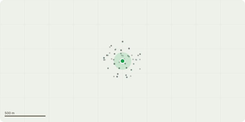
Approximate location
Proposal
Non-Material Amendment under S96A of the Town and Country Planning Act 1990 (as amended) to Planning Permission 23/00469/FULEIA dated 19th December 2024 to allow for: i) reconfiguration of planters, seating, levels, lift core, retail space arrangement, pod display vitrines and external doors at ground floor with amendment to Condition 25 to secure details of display vitrines; ii) Alterations to the treatment of retained building north elevation; iii) Alterations to landscaping arrangement of the terrace at Level 19; iv) Reduction of excavation for alteration to basement layouts; v) Alteration to arrangement of terraces and material pattern on the eastern elevation; vi) Replacement of the terraces on the western elevation at levels 3 and 4 with glazing; vii) Alteration of projecting fins on the north elevation to an expressed grid; viii) Adjustment to roof line and addition of Condition 83 to secure maximum height AOD; ix) Amendment to wording of Delivery and Servicing Conditions 56 and 67; x) Amendment to Condition 4 (Site Survey and Levels) and addition of Condition 84 (Threshold Levels and Verification Survey); and xi) Update of the figures stated in GIA Condition 81 to reflect the amended floor space.
Key dates
- Received 1 Dec 2025
- Validated 10 Dec 2025
- Started 10 Dec 2025
- Decided 16 Jun 2026
Planning history / related applications
No related planning applications have been identified in the current public OGL dataset.
Inside plotEdge
Go beyond the public record
This page is the public OGL record. plotEdge adds the private intelligence layer for this site - open it in the app to unlock:
- Ownership & title Registered owner and title from HM Land Registry.
- Viability & build potential Site scoring and development upside.
- Constraints Flood risk, green belt, conservation areas and designations.
- Approval signal Planning risk and approval-likelihood analysis.
- Comparable applications Decisions on similar nearby sites, side by side.
- Status alerts Get notified the moment this application changes.
Source: public planning application data from City of London, reused under the Open Government Licence v3.0. View the council source record. Council documents and drawings are not republished on plotEdge.