City of London
City of London/25/01443/OBS
Bankside House, 24 Sumner Street, London
- Reference
- City of London/25/01443/OBS
- Authority
- City of London
- Application type
- OBS
- Address
- Bankside House, 24 Sumner Street, London
- Status
- Under Consideration
- Received
- 14 Oct 2025
- Started
- 14 Oct 2025
- Source council
- City of London
- Council source record
- View public record
- Public data licence
- Open Government Licence v3.0
- Record updated
- 6 Aug 2026
- SEO index generated
- 7 Aug 2026
Location
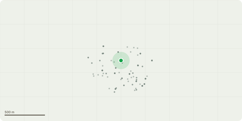
Approximate location
Proposal
Demolition of the existing building and hardstanding and redevelopment of Bankside House to provide one mixed-use building of three distinct built elements connected by a pavilion level to provide purpose-built student accommodation with ancillary facilities (Sui Generis) and ground floor commercial floorspace, café and retail (Use Class E) and community facilities (Use Class F1/F2), (including part use as a hotel Class C1 [and/or for the provision of other shortterm seasonal accommodation] outside of term times) alongside associated cycle parking, servicing, plant, landscaping improvements, and wider public realm enhancements.For information: - Proposed Building A is 24 storeys with additional rooftop plant/enclosure (84.8m AOD, 81.5m above ground), proposed Building B is 26 storeys with additional rooftop lift overrun/enclosure (90.8m AOD, 87.5m above ground) and proposed Building C is 28storeys (96.8m AOD, 93.5m above ground) The development as a whole comprises: - 1,872 bedrooms, (providing 1,944 beds) (Class Sui Generis); - 121sqm GIA of community hub and 88sqm GIA of Community classroom (Class F1/F2); - 162sqm GIA of café and 191sqm GIA of Retail (Class E); - 4,276sqm GIA Student amenity and dining area (Class Sui Generis); - A single storey wide basement containing plant and ancillary facilities to the aforementioned uses. - Only Building B is proposed to operate as short-term seasonal accommodation, with Buildings A and C proposed for summer school use
Key dates
- Received 14 Oct 2025
- Started 14 Oct 2025
Planning history / related applications
No related planning applications have been identified in the current public OGL dataset.
Inside plotEdge
Go beyond the public record
This page is the public OGL record. plotEdge adds the private intelligence layer for this site - open it in the app to unlock:
- Ownership & title Registered owner and title from HM Land Registry.
- Viability & build potential Site scoring and development upside.
- Constraints Flood risk, green belt, conservation areas and designations.
- Approval signal Planning risk and approval-likelihood analysis.
- Comparable applications Decisions on similar nearby sites, side by side.
- Status alerts Get notified the moment this application changes.
Source: public planning application data from City of London, reused under the Open Government Licence v3.0. View the council source record. Council documents and drawings are not republished on plotEdge.