City of London
City of London/25/00461/FULL
City of London School For Girls St Giles' Terrace Barbican London EC2Y 8BB
- Reference
- City of London/25/00461/FULL
- Authority
- City of London
- Application type
- FULL
- Address
- City of London School For Girls St Giles' Terrace Barbican London EC2Y 8BB
- Postcode
- EC2Y 8BB
- Status
- Decided
- Decision
- Approved
- Received
- 3 Apr 2025
- Validated
- 4 Apr 2025
- Started
- 4 Apr 2025
- Decided
- 2 Oct 2025
- Source council
- City of London
- Council source record
- View public record
- Public data licence
- Open Government Licence v3.0
- Record updated
- 1 Aug 2026
- SEO index generated
- 2 Aug 2026
Location
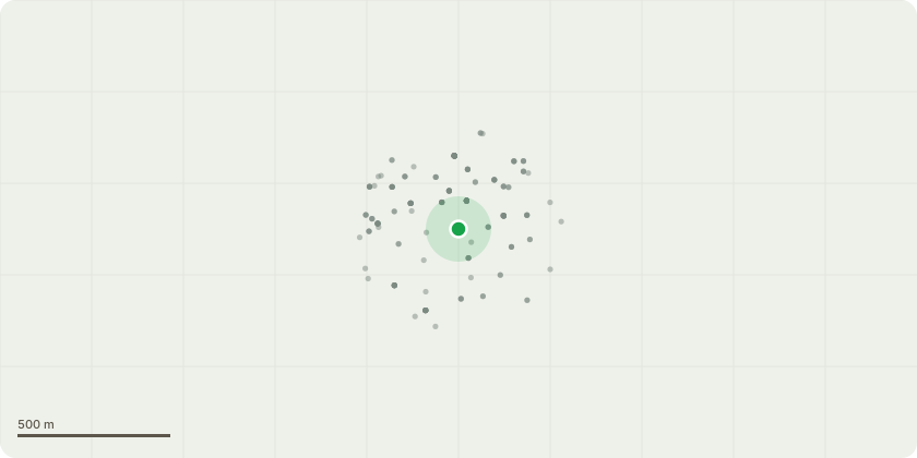
Approximate location
Proposal
Various repair and improvement works to the City of London School for girls building to include;High Level windows - full replacement of high-level clerestory windows onto new upstand, repair and waterproofing works to adjacent roof; Facade windows - repair works and alteration to physics lab window on northern elevation; Main Roof - Waterproofing to areas of roof where previous coating has failed, new lead flashing to perimeter of roof light eaves and renewed waterproofing junction at base of lantern louvres;Prep Block Roof - Repair damaged surrounds to rainwater pipes, replacement of temporary flashing repair with new lead flashing around steps; Bridges - New structural steel beams to foot bridges on south elevation, introduction of air bricks and ventilation cowls and insulation to ceiling void. New waterproofing to concrete slab; andassociated works.
Key dates
- Received 3 Apr 2025
- Validated 4 Apr 2025
- Started 4 Apr 2025
- Decided 2 Oct 2025
Planning history / related applications
No related planning applications have been identified in the current public OGL dataset.
Inside plotEdge
Go beyond the public record
This page is the public OGL record. plotEdge adds the private intelligence layer for this site - open it in the app to unlock:
- Ownership & title Registered owner and title from HM Land Registry.
- Viability & build potential Site scoring and development upside.
- Constraints Flood risk, green belt, conservation areas and designations.
- Approval signal Planning risk and approval-likelihood analysis.
- Comparable applications Decisions on similar nearby sites, side by side.
- Status alerts Get notified the moment this application changes.
Source: public planning application data from City of London, reused under the Open Government Licence v3.0. View the council source record. Council documents and drawings are not republished on plotEdge.