City of London
City of London/25/00270/FULMAJ
Custom House 20 Lower Thames Street & River Wall, Stairs And Crane Custom House Quay London EC3R 6EE
- Reference
- City of London/25/00270/FULMAJ
- Authority
- City of London
- Application type
- FULMAJ
- Address
- Custom House 20 Lower Thames Street & River Wall, Stairs And Crane Custom House Quay London EC3R 6EE
- Postcode
- EC3R 6EE
- Status
- Under Consideration
- Received
- 19 Mar 2025
- Started
- 19 Mar 2025
- Source council
- City of London
- Council source record
- View public record
- Public data licence
- Open Government Licence v3.0
- Record updated
- 11 Aug 2026
- SEO index generated
- 12 Aug 2026
Location
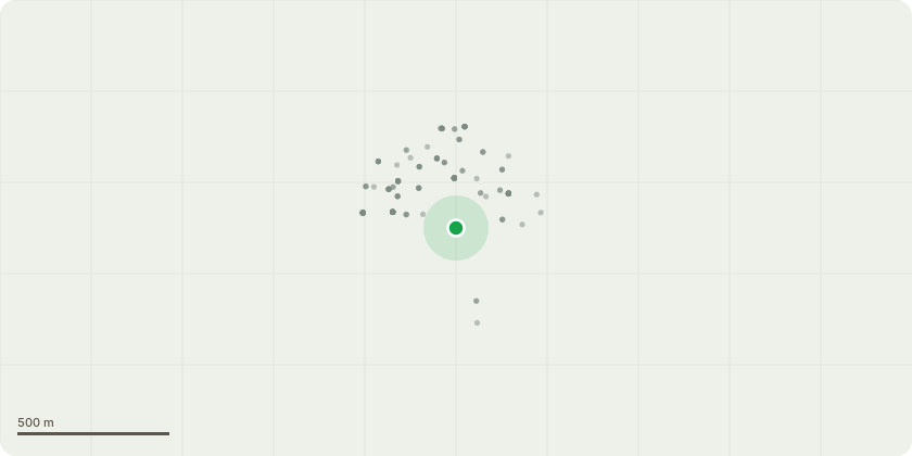
Approximate location
Proposal
Works to the Custom House and its immediate environs, comprising: Change of use of existing building and riverside car park from office (Use Class Eg(i)) to a hotel-led mixed-use building comprising the following components: 1. Hotel (Use Class C1); 2. Basement spa and health centre (Use Class E(d)); and 3. Ground floor food and beverage, public north/south route, gallery and events spaces (Sui Generis). Together with the alteration, extension, and refurbishment works to the interior and exterior of all three (Western, Central and Eastern) wings of Custom House, to facilitate the redevelopment of the existing building. Introduction of new mechanical/electrical/plumbing services throughout the building to facilitate the proposed use and provision of associated rooftop plant enclosures. The implementation of a public realm scheme to the existing quayside including replacement of southern ground floor external stairs to the Central wing, introduction of a new river terrace including stairs and step free access, new steps and ramp to the site's south-western boundary, revised flood wall and removal of existing vehicle ramp and replacement with vehicle lift. The provision of a site-wide landscaping scheme as well as works to the river wall, works to the flood defence walls, works to the western boundary wall and external works to facilitate servicing, vehicular drop off, cycle and disabled parking and all associated works.RE-CONSULTATION DUE TO THE SUBMISSION OF REVISED PLANS.
Key dates
- Received 19 Mar 2025
- Started 19 Mar 2025
Planning history / related applications
No related planning applications have been identified in the current public OGL dataset.
Inside plotEdge
Go beyond the public record
This page is the public OGL record. plotEdge adds the private intelligence layer for this site - open it in the app to unlock:
- Ownership & title Registered owner and title from HM Land Registry.
- Viability & build potential Site scoring and development upside.
- Constraints Flood risk, green belt, conservation areas and designations.
- Approval signal Planning risk and approval-likelihood analysis.
- Comparable applications Decisions on similar nearby sites, side by side.
- Status alerts Get notified the moment this application changes.
Source: public planning application data from City of London, reused under the Open Government Licence v3.0. View the council source record. Council documents and drawings are not republished on plotEdge.