City of London
City of London/24/01053/FULMAJ
1, 3-7, 15-17 Throgmorton Avenue And 23 Great Winchester Street London EC2N
- Reference
- City of London/24/01053/FULMAJ
- Authority
- City of London
- Application type
- FULMAJ
- Address
- 1, 3-7, 15-17 Throgmorton Avenue And 23 Great Winchester Street London EC2N
- Status
- Decided
- Decision
- Approved
- Received
- 1 Oct 2024
- Validated
- 30 Oct 2024
- Started
- 30 Oct 2024
- Decided
- 5 Jun 2026
- Source council
- City of London
- Council source record
- View public record
- Public data licence
- Open Government Licence v3.0
- Record updated
- 6 Aug 2026
- SEO index generated
- 7 Aug 2026
Location
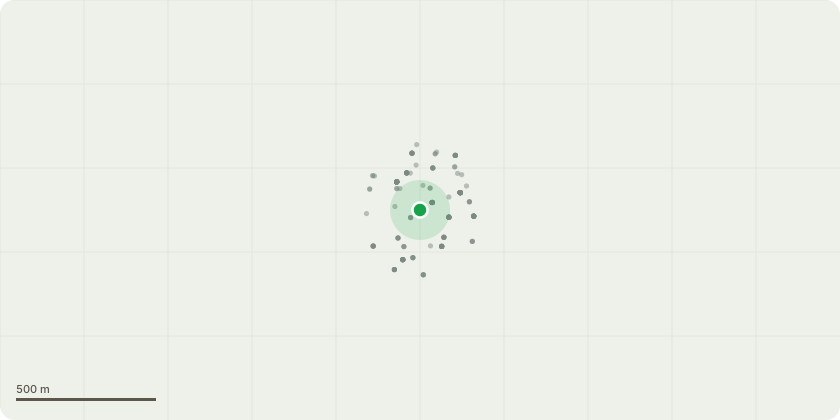
Approximate location
Proposal
Demolition of the existing extension and lift overrun at Carpenters Hall, 1 Throgmorton Avenue and the construction of a three storey plus plant extension; the partial demolition and facade retention of Nos. 3, 5 and 7 Throgmorton Avenue; the construction of eight storeys at Nos. 3, 5,7 and 15-17 Throgmorton Avenue; the demolition of the existing fourth floor and construction of fourth and fifth floors at 23 Great Winchester Street; works to the existing basement levels; and the interconnection of Nos. 3 (in part), 5-7, 15-17 Throgmorton Avenue and 23 Great Winchester Street and partial change of use of No. 3 Throgmorton Avenue to provide two buildings; One building would be Mixed Use: Livery Hall and associated ancillary uses including Knowledge Suite (Sui Generis) and Office (Use Class E(g)) and another building in Office Use (Use Class E(g)); together with access alterations, pavilion at third floor level for the Livery Hall, end of trip facilities, greening, terraces, associated plant, elevational alterations, improvement works to the London Wall Arcade and Throgmorton Avenue and all associated works.
Key dates
- Received 1 Oct 2024
- Validated 30 Oct 2024
- Started 30 Oct 2024
- Decided 5 Jun 2026
Planning history / related applications
No related planning applications have been identified in the current public OGL dataset.
Inside plotEdge
Go beyond the public record
This page is the public OGL record. plotEdge adds the private intelligence layer for this site - open it in the app to unlock:
- Ownership & title Registered owner and title from HM Land Registry.
- Viability & build potential Site scoring and development upside.
- Constraints Flood risk, green belt, conservation areas and designations.
- Approval signal Planning risk and approval-likelihood analysis.
- Comparable applications Decisions on similar nearby sites, side by side.
- Status alerts Get notified the moment this application changes.
Source: public planning application data from City of London, reused under the Open Government Licence v3.0. View the council source record. Council documents and drawings are not republished on plotEdge.