City of London
City of London/24/00896/MDC
5 - 10 Great Tower Street London EC3R 5AA
- Reference
- City of London/24/00896/MDC
- Authority
- City of London
- Application type
- MDC
- Address
- 5 - 10 Great Tower Street London EC3R 5AA
- Postcode
- EC3R 5AA
- Status
- Decided
- Decision
- Approved
- Received
- 20 Aug 2024
- Validated
- 20 Aug 2024
- Started
- 20 Aug 2024
- Decided
- 27 Sept 2024
- Source council
- City of London
- Council source record
- View public record
- Public data licence
- Open Government Licence v3.0
- Record updated
- 1 Aug 2026
- SEO index generated
- 2 Aug 2026
Location
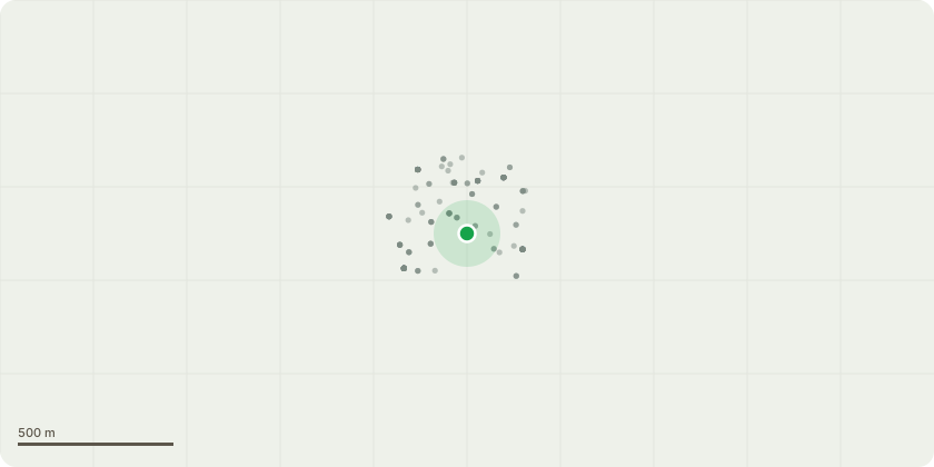
Approximate location
Proposal
Submission of (a) Fully detailed design and layout drawings for the proposed SuDS components including but not limited to: attenuation systems, rainwater pipework, flow control devices, design for system exceedance, design for ongoing maintenance; surface water flow rates shall be restricted to no greater than 2 l/s from each outfall and from no more than two distinct outfalls, provision should be made for an attenuation volume capacity capable of achieving this, which should be no less than 90 m3; (b) Full details of measures to be taken to prevent flooding (of the site or caused by the site) during the course of the construction works; and (c) Evidence that Thames Water have been consulted and consider the proposed discharge rate to be satisfactory pursuant to condition 13 of planning permission 23/01254/FULMAJ dated 07/06/2024.
Key dates
- Received 20 Aug 2024
- Validated 20 Aug 2024
- Started 20 Aug 2024
- Decided 27 Sept 2024
Planning history / related applications
No related planning applications have been identified in the current public OGL dataset.
Inside plotEdge
Go beyond the public record
This page is the public OGL record. plotEdge adds the private intelligence layer for this site - open it in the app to unlock:
- Ownership & title Registered owner and title from HM Land Registry.
- Viability & build potential Site scoring and development upside.
- Constraints Flood risk, green belt, conservation areas and designations.
- Approval signal Planning risk and approval-likelihood analysis.
- Comparable applications Decisions on similar nearby sites, side by side.
- Status alerts Get notified the moment this application changes.
Source: public planning application data from City of London, reused under the Open Government Licence v3.0. View the council source record. Council documents and drawings are not republished on plotEdge.