Chorley
Chorley/26/00735/TPO
Dilaram Burgh Lane Chorley PR7 3NT
- Reference
- Chorley/26/00735/TPO
- Authority
- Chorley
- Application type
- Tree preservation order
- Address
- Dilaram Burgh Lane Chorley PR7 3NT
- Postcode
- PR7 3NT
- Status
- Awaiting decision
- Received
- 26 Aug 2026
- Started
- 26 Aug 2026
- Source council
- Chorley
- Council source record
- View public record
- Public data licence
- Open Government Licence v3.0
- Record updated
- 27 Aug 2026
- SEO index generated
- 31 Aug 2026
Location
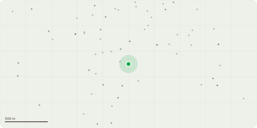
Approximate location
Proposal
Application for work to a protected tree - Chorley BC TPO 3 (Chorley) 1987 T26. Following a detailed assessment of the mature sycamore (Acer pseudoplatanus), several significant structural and physiological concerns have been identified that materially compromise the tree???s stability and safety.Evidence of substantial root plate heave has been observed, indicating displacement and possible failure within the supporting root system. This condition suggests that the tree has already undergone movement, reducing anchorage and increasing susceptibility to windthrow and whole-tree failure, particularly during periods of high wind loading or storm events.Additionally, soil accumulation above the root flare and buttress roots has been noted. This is a critical defect, as burial of the root flare can promote decay within the buttress roots and lower stem tissues, impairing structural integrity and further weakening the tree???s anchorage over time.The combination of:Root plate heaveEvidence of root movementBuried buttress roots and associated decay riskcollectively indicates a significantly elevated risk of failure.Given the extent of these defects and the associated hazard potential, particularly in exposed conditions, retention of the tree is not considered viable within acceptable risk tolerances.It is recommended that:The tree be removed to mitigate the risk of structural failure.
Key dates
- Received 26 Aug 2026
- Started 26 Aug 2026
Planning history / related applications
No related planning applications have been identified in the current public OGL dataset.
Inside plotEdge
Go beyond the public record
This page is the public OGL record. plotEdge adds the private intelligence layer for this site - open it in the app to unlock:
- Ownership & title Registered owner and title from HM Land Registry.
- Viability & build potential Site scoring and development upside.
- Constraints Flood risk, green belt, conservation areas and designations.
- Approval signal Planning risk and approval-likelihood analysis.
- Comparable applications Decisions on similar nearby sites, side by side.
- Status alerts Get notified the moment this application changes.
Source: public planning application data from Chorley, reused under the Open Government Licence v3.0. View the council source record. Council documents and drawings are not republished on plotEdge.