Cheshire West and Chester
Cheshire West and Chester/26/03262/CAT
61 Church Road Northwich CW9 5PB
- Reference
- Cheshire West and Chester/26/03262/CAT
- Authority
- Cheshire West and Chester
- Application type
- CAT
- Address
- 61 Church Road Northwich CW9 5PB
- Postcode
- CW9 5PB
- Status
- Awaiting decision
- Received
- 12 Oct 2026
- Started
- 12 Oct 2026
- Source council
- Cheshire West and Chester
- Council source record
- View public record
- Public data licence
- Open Government Licence v3.0
- Record updated
- 13 Oct 2026
- SEO index generated
- 16 Oct 2026
Location
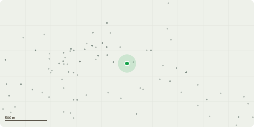
Approximate location
Proposal
T1 Dying Amelanchier - Fell. T2 Multi-stemmed self-set Ash - Fell. T3 Two Holly stems between fences (will break both fence panels if retained) - Fell to fence height. T4 Multi-stemmed Robinia (decay in poorly structured stem unions at the base) - Fell. T6 Cherry - Crown lift to give 5m clearance over road and 3m ground clearance elsewhere. remove major dead wood. T7 Self-set Ash (inappropriate species for situation) - Fell. T8 Holly - Remove high dead section and clear from street light. Reduce straggly branches by 0.5 to 1.0m. T9 Multi-stemmed Cherry (Already cut back to boundary by neighbours. Inappropriate species but valuable as screen) - Crown reduce by 3 to 5m to keep crown in check for a few years. Crown lift on garden side to give 3m ground clearance. Sever Ivy. T10 Multi-stemmed Laburnum (old and likely to fail at the base) - Fell.
Key dates
- Received 12 Oct 2026
- Started 12 Oct 2026
Planning history / related applications
No related planning applications have been identified in the current public OGL dataset.
Inside plotEdge
Go beyond the public record
This page is the public OGL record. plotEdge adds the private intelligence layer for this site - open it in the app to unlock:
- Ownership & title Registered owner and title from HM Land Registry.
- Viability & build potential Site scoring and development upside.
- Constraints Flood risk, green belt, conservation areas and designations.
- Approval signal Planning risk and approval-likelihood analysis.
- Comparable applications Decisions on similar nearby sites, side by side.
- Status alerts Get notified the moment this application changes.
Source: public planning application data from Cheshire West and Chester, reused under the Open Government Licence v3.0. View the council source record. Council documents and drawings are not republished on plotEdge.