Cheshire West and Chester
Cheshire West and Chester/26/00470/S73
Stanlow Refinery Oil Sites Road Ellesmere Port CH65 4BD
- Reference
- Cheshire West and Chester/26/00470/S73
- Authority
- Cheshire West and Chester
- Application type
- S
- Address
- Stanlow Refinery Oil Sites Road Ellesmere Port CH65 4BD
- Postcode
- CH65 4BD
- Status
- Awaiting decision
- Received
- 13 Feb 2026
- Started
- 13 Feb 2026
- Source council
- Cheshire West and Chester
- Council source record
- View public record
- Public data licence
- Open Government Licence v3.0
- Record updated
- 11 Aug 2026
- SEO index generated
- 12 Aug 2026
Location
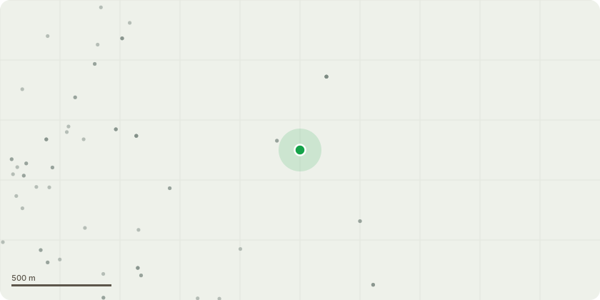
Approximate location
Proposal
Variation of conditions 1, 3 and 4 (amended site layout plans), 28 (HMMP) and removal of condition 27 (translocation of existing habitats) of 21/04091/FUL - Hybrid (full and outline) planning application for a hydrogen production plant, storage and distribution facility comprising full planning permission for the demolition of existing structures and erection of facilities including a Flare Stack, Phase 1 Process Area (containing main combustion plant), Natural Gas Let-down Area and Pipeline Reception Area for Phase 1 and Phase 2, and Pipe Racks, Utilities Area, new site access and internal access roads including new Gate House and Weighbridge Shelter, Surface Water Drainage System, landscaping and other associated infrastructure, and outline planning permission (matters of appearance, layout and scale reserved) for a Phase 2 Process Area, and Phase 1 and Phase 2 Air Separation Units, Oxygen and Nitrogen Storage Tanks, and other associated infrastructure Natural Gas Let-down Area for Phase 1 and Phase 2.
Key dates
- Received 13 Feb 2026
- Started 13 Feb 2026
Planning history / related applications
No related planning applications have been identified in the current public OGL dataset.
Inside plotEdge
Go beyond the public record
This page is the public OGL record. plotEdge adds the private intelligence layer for this site - open it in the app to unlock:
- Ownership & title Registered owner and title from HM Land Registry.
- Viability & build potential Site scoring and development upside.
- Constraints Flood risk, green belt, conservation areas and designations.
- Approval signal Planning risk and approval-likelihood analysis.
- Comparable applications Decisions on similar nearby sites, side by side.
- Status alerts Get notified the moment this application changes.
Source: public planning application data from Cheshire West and Chester, reused under the Open Government Licence v3.0. View the council source record. Council documents and drawings are not republished on plotEdge.