Cherwell
Cherwell/26/01896/TCA_5
Old Rectory The Walk Islip OX5 2SD
- Reference
- Cherwell/26/01896/TCA_5
- Authority
- Cherwell
- Application type
- TCA - 5 Day Notice
- Address
- Old Rectory The Walk Islip OX5 2SD
- Postcode
- OX5 2SD
- Status
- Application Permitted
- Decision
- Permitted
- Received
- 3 Aug 2010
- Started
- 3 Aug 2010
- Decided
- 3 Aug 2026
- Source council
- Cherwell
- Council source record
- View public record
- Public data licence
- Open Government Licence v3.0
- Record updated
- 5 Aug 2026
- SEO index generated
- 6 Aug 2026
Location
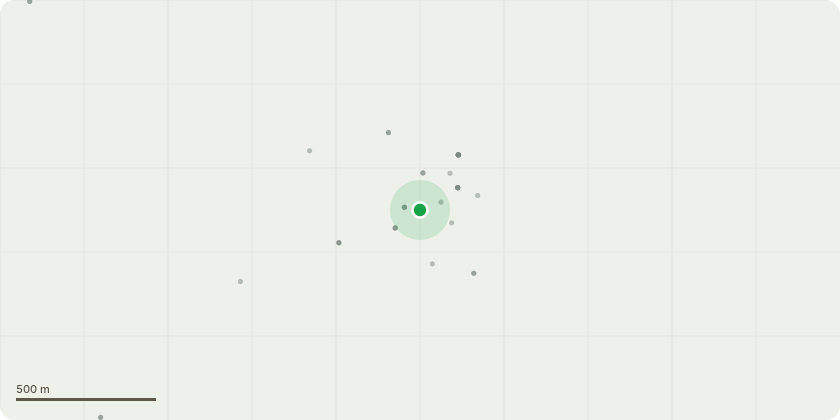
Approximate location
Proposal
Yew Trees – T15 and T16: Whilst the trees are category ‘B2’ they have been substantially pushing on a Grade II listed boundary wall which is directly onto The Walk, resulting in a risk to the general public from collapse. Temporary props have been installed, but it is considered that a risk remains to the public. The original consented planning application ‘24/01113/F’ hoped to just reduce the canopies of these trees, further subsequent movement of the wall now necessitates the need to remove these trees on safety grounds. As set out in the attached structural engineer’s report, the tree roots are contributing to the movement of the wall – leading to a critical safety matter as the wall would fall into a public space. This risk would remain if the wall were to be rebuilt, due to the proximity of the roots. Consequently, the wall cannot be made safe or rebuilt without removing these trees and their root systems.
Key dates
- Received 3 Aug 2010
- Started 3 Aug 2010
- Decided 3 Aug 2026
Planning history / related applications
No related planning applications have been identified in the current public OGL dataset.
Inside plotEdge
Go beyond the public record
This page is the public OGL record. plotEdge adds the private intelligence layer for this site - open it in the app to unlock:
- Ownership & title Registered owner and title from HM Land Registry.
- Viability & build potential Site scoring and development upside.
- Constraints Flood risk, green belt, conservation areas and designations.
- Approval signal Planning risk and approval-likelihood analysis.
- Comparable applications Decisions on similar nearby sites, side by side.
- Status alerts Get notified the moment this application changes.
Source: public planning application data from Cherwell, reused under the Open Government Licence v3.0. View the council source record. Council documents and drawings are not republished on plotEdge.