Cherwell
Cherwell/26/00997/OCC
Land North East of Canal Western By Pass Road Gosford
- Reference
- Cherwell/26/00997/OCC
- Authority
- Cherwell
- Application type
- Deemed Regs 3 - County Council
- Address
- Land North East of Canal Western By Pass Road Gosford
- Status
- No Observations
- Decision
- No Observations
- Decided
- 11 May 2026
- Source council
- Cherwell
- Council source record
- View public record
- Public data licence
- Open Government Licence v3.0
- Record updated
- 6 Aug 2026
- SEO index generated
- 7 Aug 2026
Location
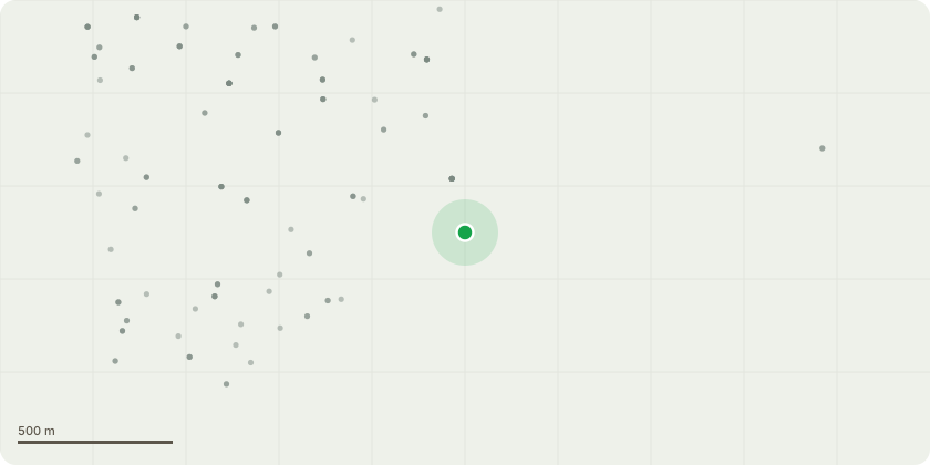
Approximate location
Proposal
Planning application seeking full planning permission for: New signalised junction on the A40 to allow access and egress from the Eynsham Park and Ride site. New 3.5m wide eastbound bus lane for 7km providing priority for buses operating along the A40 between the Eynsham Park and Ride site and the A34 overbridge (including over the bridges in the Duke’s Cut area). New 3.5m wide westbound bus lane for 3km providing priority for buses operating along the A40 on the approaches to the Cassington Junction and then up to the Eynsham Park and Ride site. Major junction improvements and capacity enhancement at A40 Eynsham/Lower Road roundabout and Cassington signals. New 3m wide Shared Use Facility (SUF) for active travel to the south of the bus lanes between the Eynsham Park and Ride site and the A34 overbridge (including over the bridges in the Duke’s Cut area). New 3m wide Shared Use Facility (SUF) for active travel to the north of the bus lanes between the Eynsham Park and Ride site and the Lower Road Roundabout, Eynsham. New 2.5m wide pedestrian facilities at locations along the north of the bus lanes between Lower Road Roundabout, Eynsham and Duke’s Cut Bridges. Five new and two upgraded controlled crossings at points along the A40 corridor, including in the Eynsham area. New bus stops and bus shelters throughout. Road safety improvements, new road signage as well as new lighting through built up areas. New planting and landscaping, improved drainage and flood risk management measures
Key dates
- Decided 11 May 2026
Planning history / related applications
No related planning applications have been identified in the current public OGL dataset.
Inside plotEdge
Go beyond the public record
This page is the public OGL record. plotEdge adds the private intelligence layer for this site - open it in the app to unlock:
- Ownership & title Registered owner and title from HM Land Registry.
- Viability & build potential Site scoring and development upside.
- Constraints Flood risk, green belt, conservation areas and designations.
- Approval signal Planning risk and approval-likelihood analysis.
- Comparable applications Decisions on similar nearby sites, side by side.
- Status alerts Get notified the moment this application changes.
Source: public planning application data from Cherwell, reused under the Open Government Licence v3.0. View the council source record. Council documents and drawings are not republished on plotEdge.