Cherwell
Cherwell/25/02190/HYBRID
Heyford Park Camp Road Upper Heyford
- Reference
- Cherwell/25/02190/HYBRID
- Authority
- Cherwell
- Application type
- Hybrid/Mixed Application
- Address
- Heyford Park Camp Road Upper Heyford
- Status
- Under Consultation
- Source council
- Cherwell
- Council source record
- View public record
- Public data licence
- Open Government Licence v3.0
- Record updated
- 6 Aug 2026
- SEO index generated
- 7 Aug 2026
Location
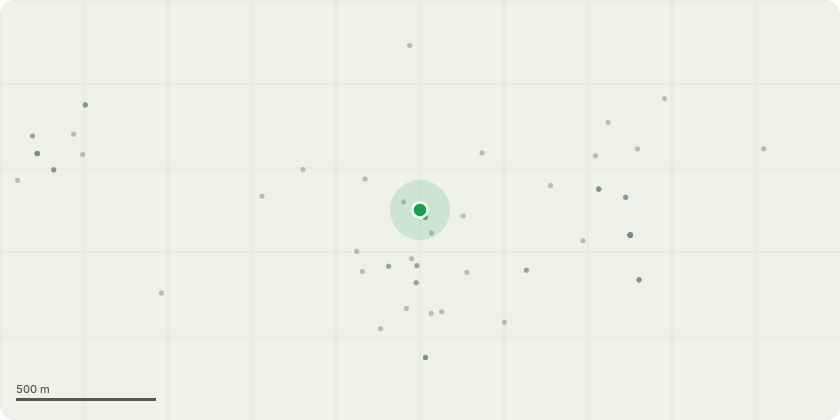
Approximate location
Proposal
A hybrid planning application consisting of: Demolition of 222 existing buildings and structures as listed in Schedule 1. Up to 9,000 new dwellings (Class C3) comprised of: Outline planning permission for up to 8,848 dwellings (Class C3) Change of Use of Buildings 320, 345, 350,172 for up to 152 dwellings (Class C3) Outline planning permission for up to: 4,610 sq.m of new light industrial buildings (Class B2) 2,600 sq.m of new warehouse buildings (Class B8) 5,500 sq.m of new hotel buildings (Class C1) 40,650 sq.m of new commercial, business and service buildings (Class E), comprising of retail, restaurant/cafe, indoor sport/recreation and fitness, medical/health services, creche/nursery, and office/research & development. Learning buildings (Class F1), comprising of four primary schools (1 x 2FE and 3 x 3FE) , 1 secondary school (1 x 9FE) and a Centre for Peace Studies (1,100 sq.m.) 1,770 sq.m of local community uses (Class F2), comprising of community centre and library buildings 1,000 sq.m of Public House/restaurant (sui generis) 7,500 sq.m for datacentre buildings (sui generis) Renewable energy generation with associated infrastructure, including 3 wind turbines, solar pv and battery energy storage systems Change of use of 98 existing buildings: Permanent change of use of buildings and structures as listed in Schedule 2 Associated infrastructure works, including surface water attenuation provision, improvements to foul drainage systems, highway and transport works, green and blue infrastructure provision
Planning history / related applications
No related planning applications have been identified in the current public OGL dataset.
Inside plotEdge
Go beyond the public record
This page is the public OGL record. plotEdge adds the private intelligence layer for this site - open it in the app to unlock:
- Ownership & title Registered owner and title from HM Land Registry.
- Viability & build potential Site scoring and development upside.
- Constraints Flood risk, green belt, conservation areas and designations.
- Approval signal Planning risk and approval-likelihood analysis.
- Comparable applications Decisions on similar nearby sites, side by side.
- Status alerts Get notified the moment this application changes.
Source: public planning application data from Cherwell, reused under the Open Government Licence v3.0. View the council source record. Council documents and drawings are not republished on plotEdge.