Cherwell
Cherwell/25/02019/TCA
The Garden Quarter Skimmingdish Lane Caversfield OX27 8TS
- Reference
- Cherwell/25/02019/TCA
- Authority
- Cherwell
- Application type
- Works To Trees In Conservation Area
- Address
- The Garden Quarter Skimmingdish Lane Caversfield OX27 8TS
- Postcode
- OX27 8TS
- Status
- Under Consultation
- Source council
- Cherwell
- Council source record
- View public record
- Public data licence
- Open Government Licence v3.0
- Record updated
- 11 Aug 2026
- SEO index generated
- 12 Aug 2026
Location
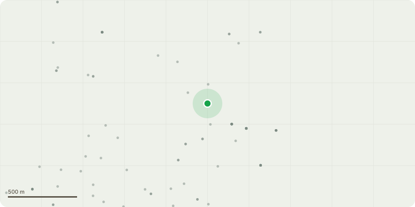
Approximate location
Proposal
T3, tag no. 614 Scots pine Remove to approximately 1.0m from ground level T4, tag no. 2555 Maple Remove major and moderate deadwood Remove broken and hanging branches T5, tag no. 611 Sycamore Remove significant sized deadwood. T6, tag no.125 Sycamore Remove significant sized deadwood within striking distance of public footpath T9, tag no. 2557 Sycamore Remove significant sized deadwood T10, tag no. 623 Sycamore Remove Significant sized deadwood T11, tag no. 2558 Beech Remove significant sized deadwood. T13, tag no. 699 Sycamore Remove Significant size deadwood. T14, tag no. 2560 Sycamore Remove significant sized deadwood. Prune damaged stub end to Branch bark collar. Remove failed limb. T15, tag no. 700 Sycamore Remove to approximately 1.0m from ground level T18, tag no. 2562 Sycamore Remove significant sized deadwood. T21, tag no. No tag. Silver Birch Remove to approximately 0.5m from ground level. T24, tag no. 737 Sycamore Due to multiple structural issues and crown die back, remove this tree to bifurcation union. T27, tag no. 671 744 Sycamore Remove significant deadwood from over lawn area and desire line. T37, no tag. Birch Remove to approximately 1.0m from ground level. T38, tag no. 696 Chestnut Prune low branches growing towards and over road and parking bays to achieve a clearance of up to 4.5m from ground level. T44, tag no. 482 Scots pine Remove to approximately 1.0m from ground level. T59, tag no. 2574 Goat willow Remove due to no long-term future potential and higher likelihood of further damage imposed via secondary growth expansion of stems.
Planning history / related applications
No related planning applications have been identified in the current public OGL dataset.
Inside plotEdge
Go beyond the public record
This page is the public OGL record. plotEdge adds the private intelligence layer for this site - open it in the app to unlock:
- Ownership & title Registered owner and title from HM Land Registry.
- Viability & build potential Site scoring and development upside.
- Constraints Flood risk, green belt, conservation areas and designations.
- Approval signal Planning risk and approval-likelihood analysis.
- Comparable applications Decisions on similar nearby sites, side by side.
- Status alerts Get notified the moment this application changes.
Source: public planning application data from Cherwell, reused under the Open Government Licence v3.0. View the council source record. Council documents and drawings are not republished on plotEdge.