Cherwell
Cherwell/25/01838/OCC
Street Record Tramway Road Banbury
- Reference
- Cherwell/25/01838/OCC
- Authority
- Cherwell
- Application type
- Deemed Regs 3 - County Council
- Address
- Street Record Tramway Road Banbury
- Status
- No Objections
- Decision
- No Observations
- Decided
- 23 Jul 2025
- Source council
- Cherwell
- Council source record
- View public record
- Public data licence
- Open Government Licence v3.0
- Record updated
- 6 Aug 2026
- SEO index generated
- 7 Aug 2026
Location
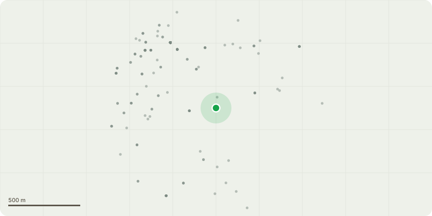
Approximate location
Proposal
Section 73 application to continue the development permitted by planning permission R3.0001/22 (District Council reference 22/00146/OCC) (Highways accessibility and public realm improvement works to the forecourt, car park, roads and junctions around Banbury Rail Station comprising: Extending the northern end of Tramway Road to provide a connection to Station Approach Road via a compact roundabout; Providing a pedestrian, cycle, bus and taxi only connection between the station forecourt and Tramway Road; Providing a new footway and cycleway from Tramway Road to the station forecourt that includes pedestrian crossings; Prohibiting general vehicular access to the station surface car park and eastern end of Station Approach from Bridge Street; Providing a new vehicle access to the station surface car park from Station Approach Road via Tramway Road; Providing relocated and new vehicle accesses to adjacent commercial buildings and depot off Tramway Road and Station Approach Road; Re-configuration of car parking, including drop off bays at Banbury Rail Station with new service area to the east of the station building; Providing an additional passenger drop off and collection facility on Tramway Road; Providing new bus stops and cycle shelters including cycle ramp access at the station forecourt; Providing new and improved lighting of the station forecourt and the connection between Tramway Road and the station; and New landscaping and associated works) without complying with conditions 1 (to amend approved drawings), condition 6 (to approve reference to landscape plan), condition 7 (to approve surface water drainage) and condition 8 (to amend surfacing) - R3.0062/25
Key dates
- Decided 23 Jul 2025
Planning history / related applications
No related planning applications have been identified in the current public OGL dataset.
Inside plotEdge
Go beyond the public record
This page is the public OGL record. plotEdge adds the private intelligence layer for this site - open it in the app to unlock:
- Ownership & title Registered owner and title from HM Land Registry.
- Viability & build potential Site scoring and development upside.
- Constraints Flood risk, green belt, conservation areas and designations.
- Approval signal Planning risk and approval-likelihood analysis.
- Comparable applications Decisions on similar nearby sites, side by side.
- Status alerts Get notified the moment this application changes.
Source: public planning application data from Cherwell, reused under the Open Government Licence v3.0. View the council source record. Council documents and drawings are not republished on plotEdge.