Cheltenham
Cheltenham/24/02133/TPO
Land To Either Side Of Entrance Driveway Redgrove Park Cheltenham Gloucestershire
- Reference
- Cheltenham/24/02133/TPO
- Authority
- Cheltenham
- Application type
- Tree preservation order
- Address
- Land To Either Side Of Entrance Driveway Redgrove Park Cheltenham Gloucestershire
- Decision
- Permit
- Received
- 20 Dec 2024
- Validated
- 24 Dec 2024
- Started
- 24 Dec 2024
- Decided
- 10 Mar 2025
- Source council
- Cheltenham
- Council source record
- View public record
- Public data licence
- Open Government Licence v3.0
- Record updated
- 6 Aug 2026
- SEO index generated
- 7 Aug 2026
Location
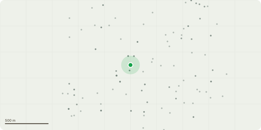
Approximate location
Proposal
As per submitted plans: T22 Poplar. Fell. Complete removal by sectional dismantling including stump removal. T24 Maple. Fell small lefthand stem to give more growth space to the remaining tree. T25 Poplar. Fell. Complete removal by sectional dismantling including stump removal. T27 Poplar. Fell. Complete removal by sectional dismantling including stump removal. T29 Poplar. Fell. Complete removal by sectional dismantling including stump removal. T39 Poplar. Fell. Complete removal by sectional dismantling including stump removal. T89 English elm. Fell. Complete removal by sectional dismantling. T141 European larch. Fell. Red spot in image. Complete removal by sectional dismantling including stump removal. T191 Scots pine. Fell. Complete removal by sectional dismantling. T213 Leyland cypress. Crown reduction work. Specification, reduce height by 4m only. T224 Field maple. Crown reduction works to include reduce spread neighbour side only by some 2.3m cutting back to strong secondary growth and shape. T227 Leyland cypress. Crown reduction works to include reduce height only by some 3.5m cutting back to strong secondary growth. T290 Ash. Branch removal specification. Remove all broken and hanging branches. Make good the remaining branch structure. Reduce any branch which would off been compromised the storm damage. T293 English elm. Fell. Complete removal to ground level. Removal of all arisings. Crown showing signs of poor vitality. Some parts are dead.
Key dates
- Received 20 Dec 2024
- Validated 24 Dec 2024
- Started 24 Dec 2024
- Decided 10 Mar 2025
Planning history / related applications
No related planning applications have been identified in the current public OGL dataset.
Inside plotEdge
Go beyond the public record
This page is the public OGL record. plotEdge adds the private intelligence layer for this site - open it in the app to unlock:
- Ownership & title Registered owner and title from HM Land Registry.
- Viability & build potential Site scoring and development upside.
- Constraints Flood risk, green belt, conservation areas and designations.
- Approval signal Planning risk and approval-likelihood analysis.
- Comparable applications Decisions on similar nearby sites, side by side.
- Status alerts Get notified the moment this application changes.
Source: public planning application data from Cheltenham, reused under the Open Government Licence v3.0. View the council source record. Council documents and drawings are not republished on plotEdge.