Chelmsford
Chelmsford/24/01776/NMAT/1
Barn North Of Bury Farm Bury Road Pleshey Chelmsford
- Reference
- Chelmsford/24/01776/NMAT/1
- Authority
- Chelmsford
- Address
- Barn North Of Bury Farm Bury Road Pleshey Chelmsford
- Status
- Application Permitted
- Received
- 9 May 2025
- Started
- 9 May 2025
- Decided
- 5 Jun 2025
- Source council
- Chelmsford
- Council source record
- View public record
- Public data licence
- Open Government Licence v3.0
- Record updated
- 6 Aug 2026
- SEO index generated
- 7 Aug 2026
Location
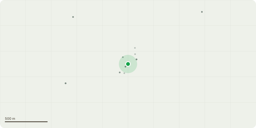
Approximate location
Proposal
Non-material Amendment for planing application 24/01776/FUL:- (Demolition of existing agricultural barn, replacement with 1 dwelling; new access gates and landscaping enhancements.) 1. Minor internal reconfigurations to optimise internal layouts and living spaces.2. Slight adjustments to window positions on the east elevation to accommodate internal built-in joinery.3. Entrance glazing reduced in width by approximately 600mm to better suit the revised entrance composition.4. Garage layout revised - The previously proposed garage is now divided to create a larger garden store and a single garage. The large garage door has been replaced with two sets of traditional barn doors. Sufficient surface parking remains available.5. Addition of a modest entrance surround ? A minimal covered entrance has been introduced to enhance privacy and provide weather protection.6. Additional rooflights- Six rooflights have been added to the porch on the west elevation to bring more natural light into the living areas.
Key dates
- Received 9 May 2025
- Started 9 May 2025
- Decided 5 Jun 2025
Planning history / related applications
No related planning applications have been identified in the current public OGL dataset.
Inside plotEdge
Go beyond the public record
This page is the public OGL record. plotEdge adds the private intelligence layer for this site - open it in the app to unlock:
- Ownership & title Registered owner and title from HM Land Registry.
- Viability & build potential Site scoring and development upside.
- Constraints Flood risk, green belt, conservation areas and designations.
- Approval signal Planning risk and approval-likelihood analysis.
- Comparable applications Decisions on similar nearby sites, side by side.
- Status alerts Get notified the moment this application changes.
Source: public planning application data from Chelmsford, reused under the Open Government Licence v3.0. View the council source record. Council documents and drawings are not republished on plotEdge.