Cambridge
Cambridge/26/0214/TTPO
The Coppice Impington Cambridgeshire
- Reference
- Cambridge/26/0214/TTPO
- Authority
- Cambridge
- Application type
- TTPO
- Address
- The Coppice Impington Cambridgeshire
- Status
- Decided
- Decision
- Granted Permission
- Received
- 26 Feb 2026
- Validated
- 26 Feb 2026
- Started
- 26 Feb 2026
- Decided
- 10 Apr 2026
- Source council
- Cambridge
- Council source record
- View public record
- Public data licence
- Open Government Licence v3.0
- Record updated
- 6 Aug 2026
- SEO index generated
- 7 Aug 2026
Location
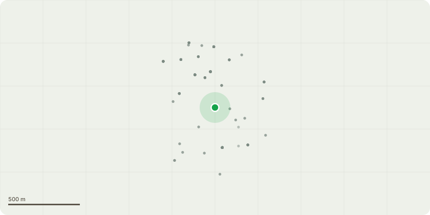
Approximate location
Proposal
MATURE HORSE CHESTNUT X 20MS IN HEIGHT - Reduce by approximately 14ms to leave at 6ms, the tree has Ganoderma adspersum with brackets evident around the base as well suffering from bleeding canker for many years and has been previously reduced and thinned to address these conditions. Veteran tree survey was carried out on the tree in 2023 (copy attached) by Urban Forestry who identified active lesions and bark damage and a cavity forming in the base of large lateral limb overhanging Cambridge Road. Following residents meeting with Histon PC and Acacia, it was decided to pollard the tree to leave it as a standing wildlife habitat monolith due to high target area of well used pathway and roadside position and its continuing deterioration. Thereafter, annual inspection.
Key dates
- Received 26 Feb 2026
- Validated 26 Feb 2026
- Started 26 Feb 2026
- Decided 10 Apr 2026
Planning history / related applications
No related planning applications have been identified in the current public OGL dataset.
Inside plotEdge
Go beyond the public record
This page is the public OGL record. plotEdge adds the private intelligence layer for this site - open it in the app to unlock:
- Ownership & title Registered owner and title from HM Land Registry.
- Viability & build potential Site scoring and development upside.
- Constraints Flood risk, green belt, conservation areas and designations.
- Approval signal Planning risk and approval-likelihood analysis.
- Comparable applications Decisions on similar nearby sites, side by side.
- Status alerts Get notified the moment this application changes.
Source: public planning application data from Cambridge, reused under the Open Government Licence v3.0. View the council source record. Council documents and drawings are not republished on plotEdge.